

Copernicus Emergency Management Service (CEMS)
The Copernicus Emergency Management Service (CEMS) works to increase resilience, prevent the loss of life and property, and reduce damage to ecosystems before, during, and after disasters.
To accomplish this, CEMS supports actors in addressing natural hazards, emergency situations, and humanitarian crises, as well as those involved in preparedness and recovery activities.
CEMS is implemented by the European Commission's Joint Research Centre.
Overview
CEMS helps emergency management services across Europe by providing them with timely geospatial information, such as near real-time and historical information on forest fires or early-warnings for floods across Europe.
Various EU agencies and actors at the national and local level use its products to help them respond quickly and efficiently when needed. The service specifically supports civil protection authorities and humanitarian aid agencies.
CEMS operates 24/7 and its data and products are free and accessible to EU Member States and the global community. It relies on satellite data, in-situ observations, models, and aerial data to provide tailored products within three components:
- Early warning and monitoring: Provides up-to-date indices and forecasts related to droughts, floods, and forest fires
- On-demand mapping: Provides timely and accurate maps to support emergency management activities before, during, and after disasters. This service needs to be activated by authorised users.
- Exposure mapping: Provides information on the presence of human settlements and populations using the Global Human Settlement Layer (GHSL) datasets.
Copernicus Emergency Management Service (CEMS)
Specialised portals for emergency response and disaster management.
EFAS forecasts floods across Europe up to 10 days ahead to help authorities prepare.
GloFAS forecasts and monitors river floods worldwide, combining daily forecasts with near real-time satellite flood detection.
EFFIS tracks and provides reliable data on forest fires across Europe and neighboring countries to support fire protection efforts.
EDO/GDO monitor and provide data on drought conditions across Europe and worldwide.
Other Copernicus services
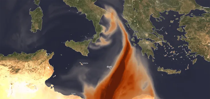
The Copernicus Atmosphere Monitoring Service (CAMS) works to provide quality-assured data and information on the atmospheric composition with a focus on air pollutants and greenhouse gases.
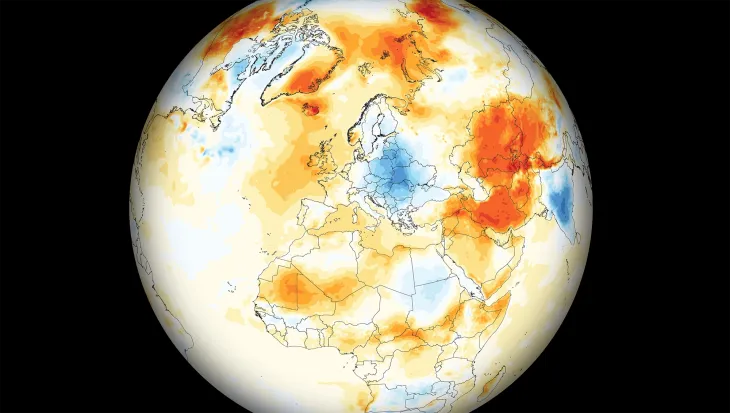
The Copernicus Climate Change Service (C3S) provides free and open access to its state-of-the-art, quality-assured climate data and insights to help inform climate adaptation and mitigation strategies worldwide.
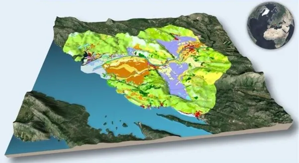
The Copernicus Land Monitoring Service (CLMS) helps Europe and the world make safer and more sustainable choices with regards to our planet and its vital resources.
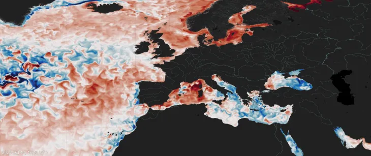
The Copernicus Marine Service (CMEMS) provides free and open data and services tracking these important ocean indicators. Its information helps to combat pollution, protect marine environments, develop new energy resources, raise global awareness of ocean-related issues, and much more.
The Copernicus Security Service (CSS) supports innovative strategies to meet Europe’s security and foreign policy needs. It enables activities ranging from mapping and monitoring illegal logging or mining activities to combatting marine pollution and supporting law enforcement at sea.