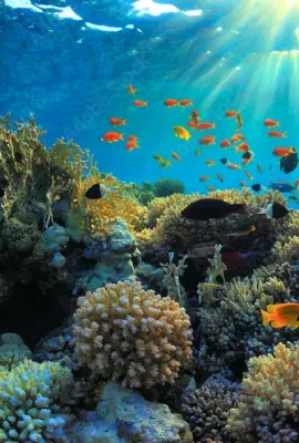
Coral reefs are the most biodiverse marine ecosystems on Earth. In addition to serving as a habitat and food resource for 25% of marine species, they provide the world with nearly EUR 2.5 billion in…
Results (31)
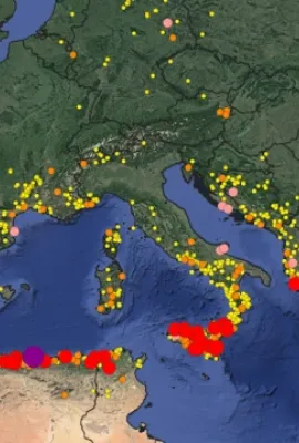
Wildfires in Europe are becoming more severe and more frequent. That’s why the mapping and monitoring products provided by the Copernicus Emergency Management Service (CEMS) will become increasingly…
The EU is installing renewable energy at a never-before-seen pace, with Poland among the top five producers of solar power on the continent.
The Copernicus Security Service (CSS), among other things, covers also maritime safety, sustainability, and surveillance, under its Copernicus Maritime Surveillance (CMEMS) component.
The Copernicus Security Service (CSS) is helping peacekeepers prepare for different scenarios through detailed use cases as part of the Support to EU External and Security Actions (SESA) component…
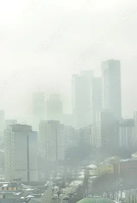
The everyday impacts of poor air quality can be harmful and far-reaching. Accessible, reliable information is essential to raise public awareness and empower local governments to take effective…
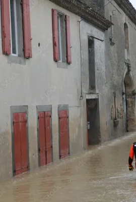
Climate change and environmental degradation are impacting the frequency and severity of disasters.
From harmful gases to tiny particles, the air we inhale is filled with invisible pollutants.
In the spring of 2025, the Soviet-built Cosmos-482 Descent Craft, originally designed to land on Venus, instead began making an uncontrolled re-entry into Earth’s atmosphere.
Each year, EU Space data and services help rescue 2 000 people in distress.

Biodiverse ecosystems are essential to the overall health of our planet. That’s why much of the world – EU Member States among them – has pledged to protect and restore global biodiversity.
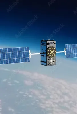
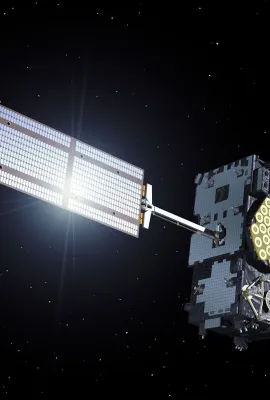
Civilian flights use EGNOS for more than just navigation: aircraft rely on navigation signals to help them land safely. That’s where EGNOS’ Safety of Life (SoL) service comes in.
EU-DEM EGNOS visibility map was computed using the Digital Elevation Model over Europe (EU-DEM). The map shows all areas within the Digital Elevation Model over Europe where there is no visibility of…
CROP MONITORING IN EUROPE The European Commission’s Joint Research Centre (JRC) acquires and shares relevant data and develops tools and methods for Monitoring Agriculture ResourceS (MARS), which…
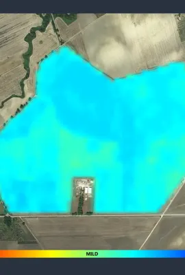
Farm Sustainability Tool (FaST) - Space Data for Sustainable Farming The Farm Sustainability Tool (FaST) digital services platform is supported by the European Commission’s DG Agriculture and Rural…
DROUGHT MONITORING IN ROMANIA In Romania, the complex agricultural drought is a climatic hazard phenomenon inducing the worst consequences in agriculture. The area subjected to desertification,…
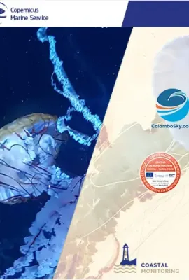
JELLYX: A MONITORING TOOL TO DETECT JELLYFISH SWARMS Pollution, climate change, and marine habitats degradation are affecting ocean-based industries worldwide. Increasing events of jellyfish…
AGROSAT In Italy, the application of precision farming is very heterogeneous and covers only 1% of the whole agricultural area. Meanwhile the agricultural system is required to maximise the…
The ozone layer protects us from potentially harmful ultraviolet (UV) radiation. CAMS monitors stratospheric ozone and provides UV forecasts based on this information. Ozone is a colourless and very…
A SYSTEM FOR PREDICTING GLOBAL AND REGIONAL TIDAL CURRENTS NOVELTIS is a private French service company specialized in space, environment, sustainable development and technological innovations. The…
Showing 1-20 of 31 results