Satellite Navigation
Satellite Navigation in a nutshell
Satellite navigation is a technology that allows devices to determine their accurate location and time on Earth using signals from satellites . Receivers integrated in smartphones, cars, aircraft, and ships use these signals to compute their position and time, and display it on a digital map. This makes it possible to know where you are at every second and navigate from one place to another.
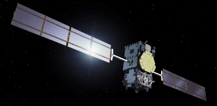
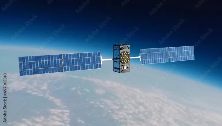
There are currently four global navigation satellite systems (GNSS): GPS (USA), Glonass (Russia), Beidou (China) and Galileo (European Union). Galileo is the most accurate of all.
Galileo is Europe's Global Navigation Satellite System (GNSS). Its positioning, navigation and timing services are a mainstay of today's global economy. In addition to powering the apps we use every day on our smart devices, it provides advanced services that support search and rescue operations, agricultural activities, maritime transport, and more.
The European Geostationary Navigation Overlay Service (EGNOS) was EU Space's first venture into satellite navigation. This system significantly improves the accuracy of positioning signals and checks their integrity, triggering an alarm if information is unreliable. For this reason, EGNOS has become an important feature for safety-critical applications such as aviation and maritime navigation.