
EOGS
Europe’s Earth Observation Governmental Service
EOGS in a nutshell
In January 2024, the European Commission launched a preparatory study with EU space industry stakeholders to define the technological, operational and governance framework of EOGS. The objective is to establish a sovereign European governmental Earth observation capability. EOGS will be developed in the context of upcoming EU funding instruments, notably the proposed European Competitiveness Fund (2028–2034), currently under discussion by the European Parliament and the Council.
Why is EOGS important for our Union?
EOGS will provide enhanced situational awareness in support of preparedness, decision-making and the action of the Union and Member States in the fields of security and defence. It will provide secure, reliable, timely, persistent and targeted space-based Earth observation data, reinforcing existing and planned capabilities.
EOGS will be part of the Earth Observation component of the European Competitiveness Fund Regulation (2028–2034).
EOGS will generate value-added geo-spatial information restricted to government-authorised users for sensitive situational awareness applications, in support of preparedness, decision-making in the fields of security and defence.
Data will be accessed and distributed in a secure manner, including infrastructure and services to ensure the access to, distribution and exploitation and long-term preservation of EOGS data and information.
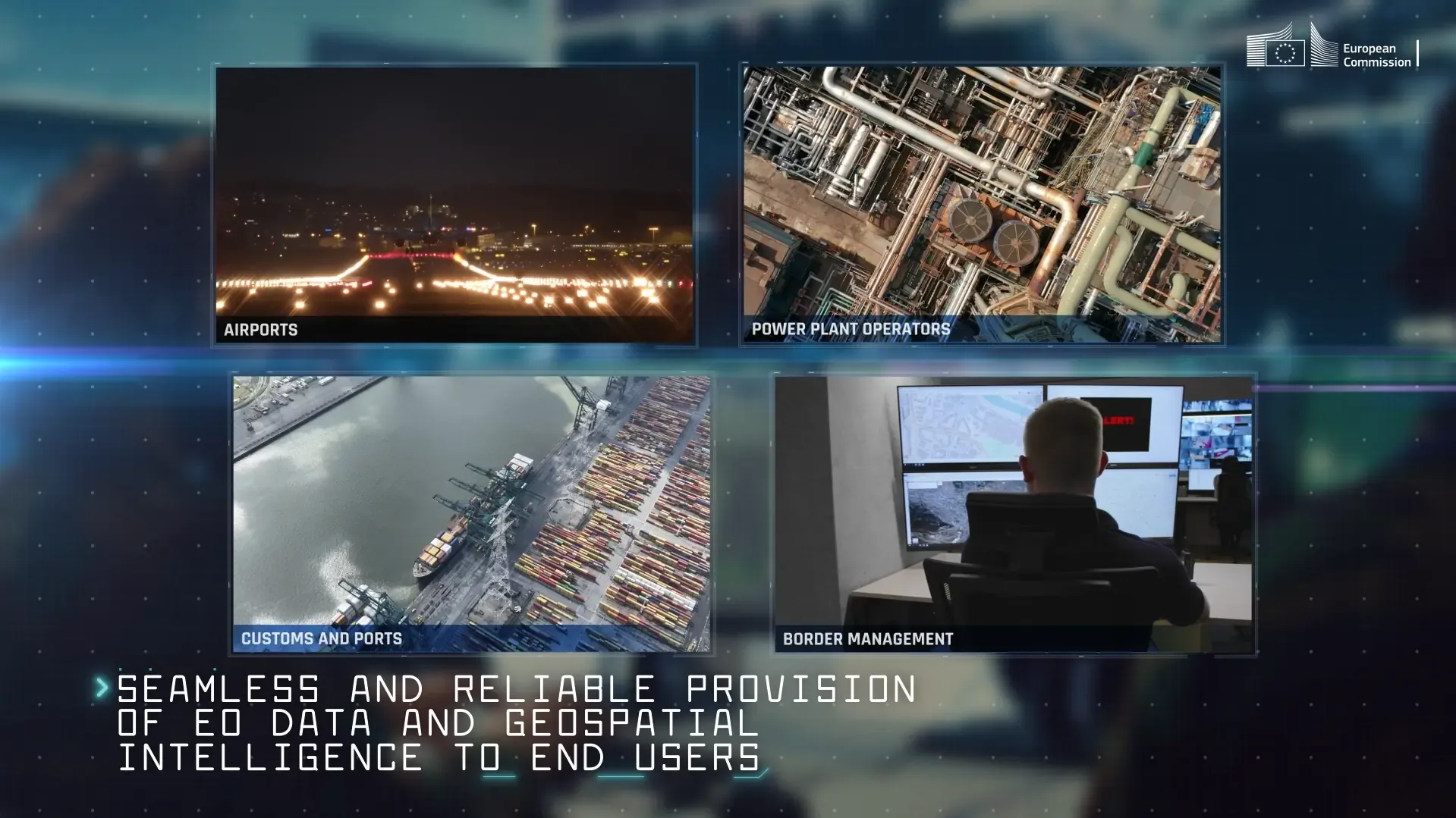
The EOGS infrastructure will include development and operations of new Earth-observation space missions designed for sensitive governmental applications; access to complementary third-party space-based Earth observation data; access to in-situ and other ancillary data.
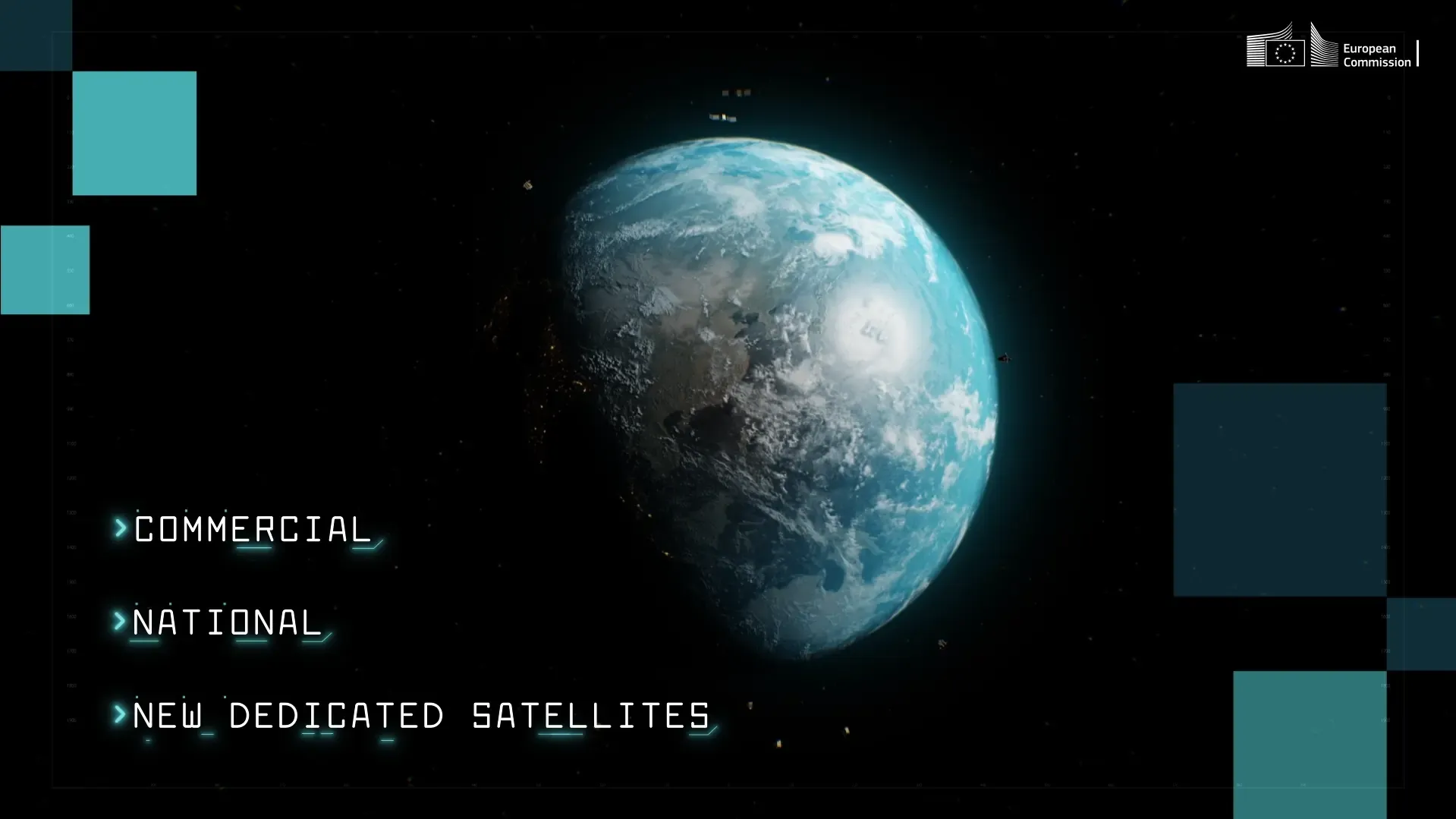
EOGS will complement and build on existing capabilities provided through the European Union Satellite Centre, including those from Member States. EOGS may also provide complementary information to Copernicus Services, in particular for civil protection and security.
EOGS in my daily life
FAQ
The strategic environment facing Europe is evolving rapidly, creating new demands for timely and secure Earth observation information. EOGS aims to strengthen Europe’s capacity to independently access and exploit space-based Earth observation data for governmental purposes, enhancing preparedness, situational awareness and decision-making.
Copernicus is the EU’s flagship Earth observation programme, providing open and free data and services for a wide range of civil applications.
EOGS will complement Copernicus by delivering secure governmental services and information products for authorised users in support of security and defence-related activities. Access to EOGS data and services will be restricted.
EOGS is intended for authorised governmental users at EU and Member State level. Access policies and user categories will be defined as part of the programme’s governance framework.
No. EOGS is designed to complement and reinforce existing capabilities developed by Member States and the European Union. It will contribute to a more coordinated and resilient European Earth observation ecosystem.
EOGS will generate value-added geospatial information derived from Earth observation data. This may support applications such as crisis monitoring, protection of critical infrastructure, situational awareness, disaster response and the monitoring of security-related developments.