
Use cases
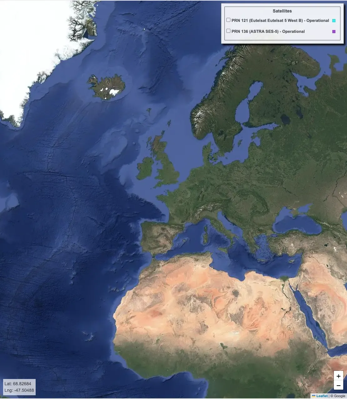
EU-DEM
Earth Observation
Copernicus
EGNOS visibility map was computed using the Digital Elevation Model over Europe (EU-DEM). The map shows all areas within the Digital Elevation Model over Europe where there is no visibility of one or both EGNOS operational geostationary satellites (PRN 120 and 123).