Clear skies over eastern Tierra del Fuego in Argentina and Chile
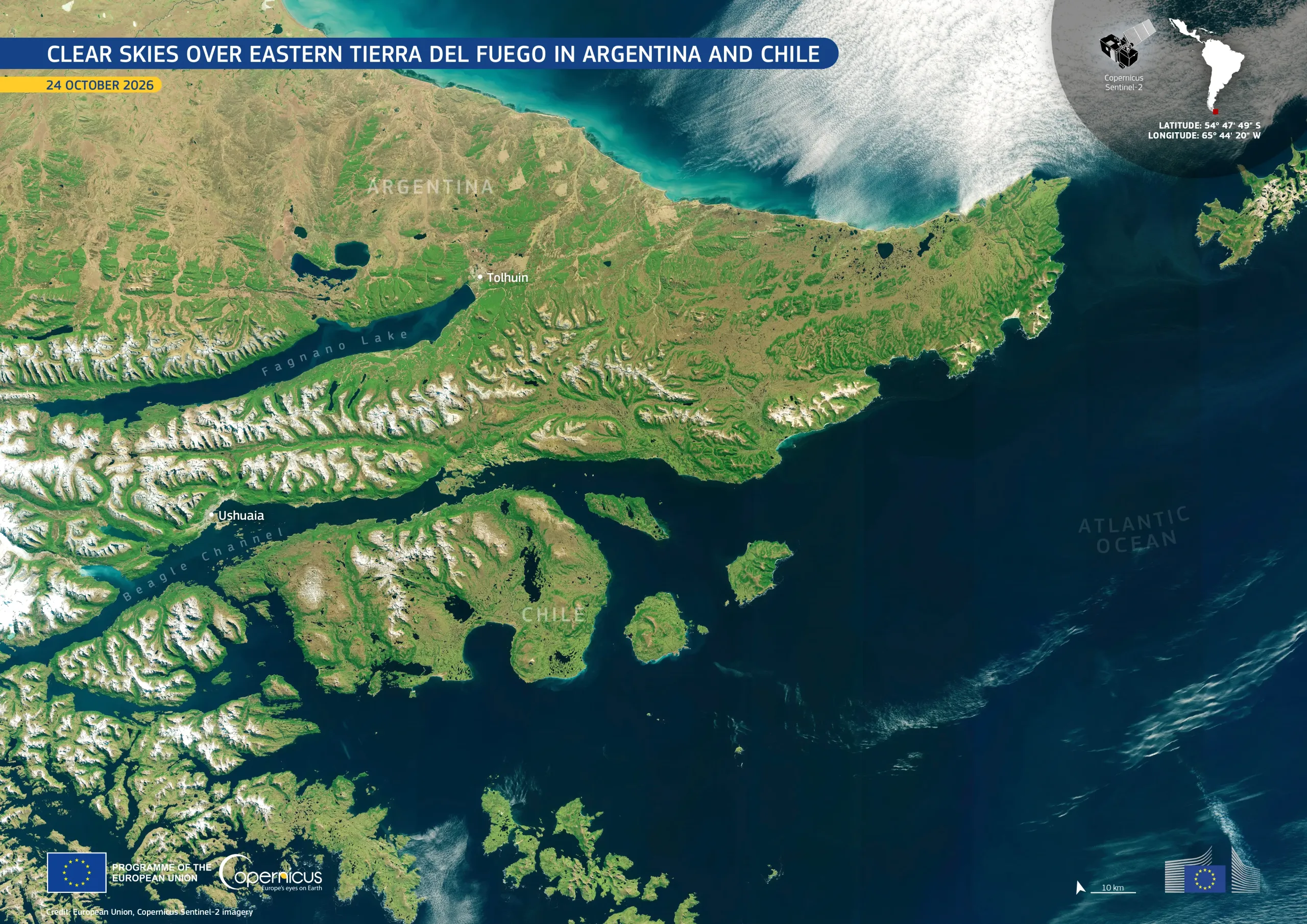
Tierra del Fuego is an archipelago at the southern tip of South America, shared by Argentina and Chile and separated from the mainland by the Strait of Magellan. The archipelago has a maritime climate, and prevailing westerly winds bring frequent cloud cover over its rugged mountains, forests, lakes, and intricate waterways. As a result, cloud-free satellite images of the region are uncommon.
This image, acquired by one of the Copernicus Sentinel-2 satellites on 24 October 2026, shows the eastern part of the archipelago largely free of clouds. In mid-spring in the southern hemisphere, snow still caps the higher mountain peaks, in contrast to the green vegetation and deep blue waterways below.
Copernicus data support the monitoring of vegetation, snow cover, and coastal ecosystems in remote regions. These data contribute to environmental research and to the tracking of landscape changes over time.