Explore EU Space

Results (310)
RSS feed of these results
Image of the day
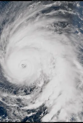
Hurricane Kirk
Earth Observation
Earth Observation
Copernicus
… The majority of Kirk’s impacts will be felt in western Europe, where authorities in France and Spain have issued …
Image of the day
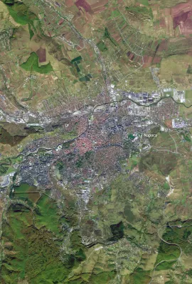
Cluj-Napoca, Romania
Earth Observation
Earth Observation
Copernicus
… currently one of ten pilot cities selected for the Horizon Europe CLMS-Cities project, which combines satellite-based …
Image of the day
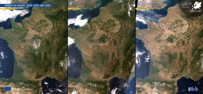
Three side-by-side satellite images of France and surrounding regions in August 2024, 2025, and 2026, showing progressively dry, brown conditions across much of the country. The panels are dated 11 August 2024, 12 August 2025, and 8 August 2026, respectively. Cloud cover varies between the images, while the Atlantic Ocean, Mediterranean Sea, Alps, and Pyrenees are visible. Branding identifies the imagery as from the European Union’s Copernicus Sentinel-3 mission.
Earth Observation
Earth Observation
Copernicus
… (CEMS), provides systematic updated drought monitoring for Europe, supporting early warning, impact assessment, and …
Image of the day
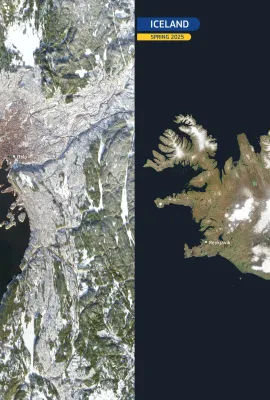
Nordic landscapes: Oslo, Norway and Iceland
Earth Observation
Earth Observation
Copernicus
… is defined by active volcanos, extensive lava fields, and Europe’s largest ice masses. In the Copernicus Sentinel-2 …
Image of the day
A green milestone for Germany
Earth Observation
Earth Observation
Copernicus
… demand, volatility) at the regional and national scale in Europe.   …
Image of the day
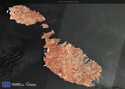
Malta and Gozo
Earth Observation
Earth Observation
Copernicus
… is Malta Freeport, one of the busiest container ports in Europe. The bright pink rectangle near the tip of the La …
Image of the day
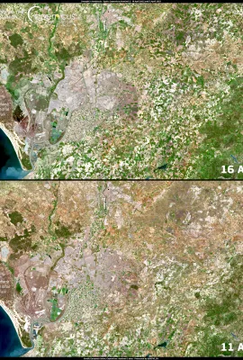
Drought in Andalusia in April 2023
Earth Observation
Earth Observation
Copernicus
… Service allows to monitor of drought conditions across Europe and provides early warning information for potential …

Showing 281-300 of 310 results