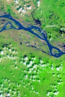
This image, acquired one of the Copernicus Sentinel-2 satellites on 25 October 2025, shows a meandering stretch of the Ganges River in eastern India. Flowing through the district of Sahibganj in the…
Results (1309)
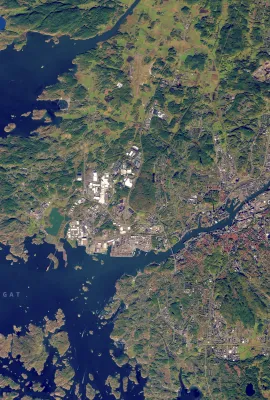
On 18 October 2025, one of the Copernicus Sentinel-2 satellites acquired this image of Gothenburg, Sweden’s second largest city. Gothenburg is located on the country’s western coast along the…
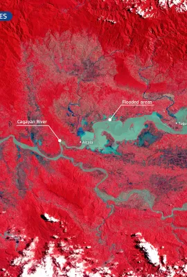
Following the landfall of Typhoon Fung-wong on 9 November 2025, northern regions of the Philippines were affected by extensive flooding, with the Cagayan Valley among the worst hit areas. The typhoon…
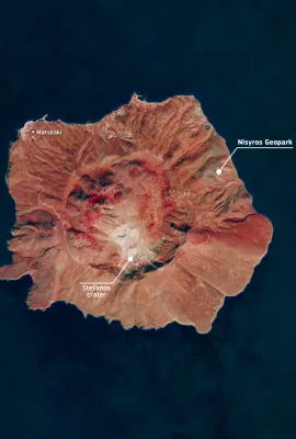
In October 2025, the volcanic island of Nisyros, in the south-eastern Aegean Sea, was recognised as the tenth Greek site to join the UNESCO Global Geoparks Network, reflecting its geological and…
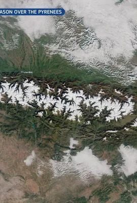
The Pyrenees are an important ecological corridor stretching between France and Spain, connecting Atlantic and Mediterranean ecosystems across a rugged mountain landscape. The mountain range supports…
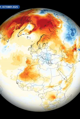
The Copernicus Climate Change Service (C3S) has published its latest monthly Climate Bulletin, which focuses on key climate trends in October 2025. The bulletin reports that October 2025 was the…
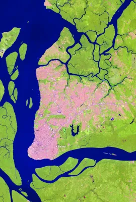
Belém, the capital of the state of Pará in northern Brazil, lies near the mouth of the Amazon River and has grown into a key economic and logistical centre for the wider Amazon region. Located within…
The Tatra Mountains, visible in this Copernicus Sentinel-2 image, acquired on 20 October 2025, form a natural border between southern Poland and northern Slovakia, are among Central Europe’s most…
A large plume of dust swept across the Arabian Sea in early November 2025, driven by strong north-westerly winds transporting fine particles from the arid regions of Iran and southern Pakistan. Dust…
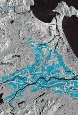
In late October 2025, severe flooding struck Vietnam after days of intense rainfall. Thousands of residents evacuated their homes, with local authorities reporting at least 37 casualties. The…
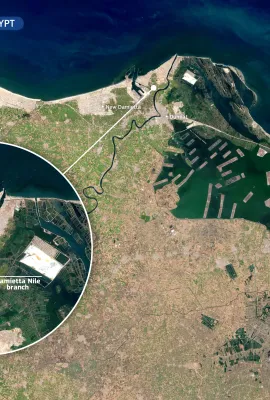
At the northeastern edge of Egypt’s Nile Delta, the Damietta branch of the Nile flows towards the Mediterranean Sea, crossing a region of significant ecological and economic importance. This area…
Copernicus Sentinel-1D was successfully launched on 4 November 2025 at 22:02 CET (21:02 UTC) aboard an Ariane 6 rocket from the European Spaceport in Kourou, French Guiana. The satellite was released…
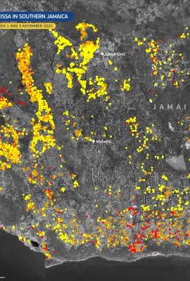
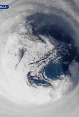
Hurricane Melissa formed over the central Caribbean Sea on 22 October 2025 before moving north-west and making landfall in Jamaica as a Category 5 hurricane, the most powerful ever recorded on the…
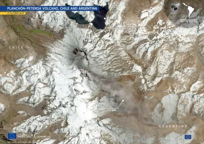
On 25 October 2025, the Planchón-Peteroa volcanic complex, located on the Chile–Argentina border, emitted a sustained plume of volcanic gas and fine ash that rose to approximately 600 m above the…
The Inland Delta of the Niger River, classified as a Ramsar wetland of international importance in 2004, supports agriculture and biodiversity in Mali. At the northern edge of the delta in Mali,…
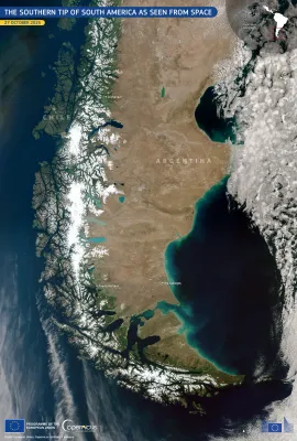
This image, acquired by one of the Copernicus Sentinel-3 satellites on 27 October 2025, provides a rare, cloudless view of the southernmost regions of South America, including parts of Argentina and…
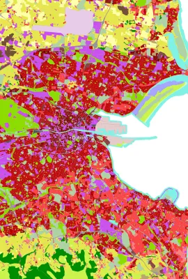
On World Cities Day, 31 October 2025, we spotlight Dublin, Ireland’s capital and a hub of cultural, economic, and social activity. Rapid urban expansion in some European cities such as Dublin brings…
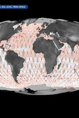
The Copernicus Sentinel-6 satellite mission is the global reference for measuring sea surface height. The first satellite of the mission, Copernicus Sentinel-6 Michael Freilich (Sentinel-6A), was…
On 28 October 2025, Hurricane Melissa, the most powerful storm to hit Jamaica in history, made landfall on the island with devastating force. With sustained winds reaching 298 km/h and a central…
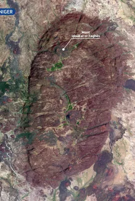
Rising to 2,022 metres, Mont Idoukal-n-Taghès is the highest peak in Niger and a prominent feature of the Aïr Massif in the north of the country. This mountainous region of volcanic origin stands out…
Showing 341-360 of 1309 results