Explore EU Space

Results (2101)
RSS feed of these results
Events
Introducing CLCplus Core: 5th webinar
Earth Observation
Earth Observation
Copernicus
The extraction process is the operational mechanism through which CLCplus Core can be used to create queries and extract harmonised information from the platform.
Events
WSI webinar: Applications and hands-on training
Earth Observation
Earth Observation
Copernicus
On 18th of November 2026 the Copernicus Land Monitoring Service (CLMS) will host the fourth and last webinar of the event series aimed at showcasing the new High Resolution Water, Snow and Ice…
Image of the day
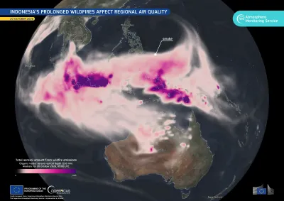
Indonesia smoke
Earth Observation
Earth Observation
Copernicus
Since late July 2026, wildfires burning across Indonesia’s forests, agricultural land and peatlands have released large quantities of smoke, affecting air quality across the country and in…
Image of the day
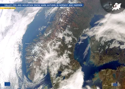
Scandinavia
Earth Observation
Earth Observation
Copernicus
As temperatures drop and nights grow longer in autumn, fog and snow become more common across much of Scandinavia. Fog frequently develops in valleys and low-lying areas when moist air cools near the…
Image of the day
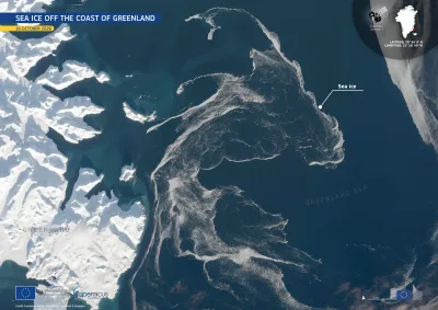
Greenland sea ice
Earth Observation
Earth Observation
Copernicus
This image, acquired by one of the Copernicus Sentinel-2 satellites on 16 October 2026, shows sea ice drifting through the Greenland Sea, off the eastern coast of Greenland.
News
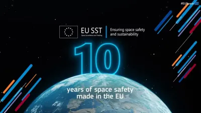
10 years of space safety and sustainability made in the EU
Space safety
Space safety
Space traffic management
Today, the European Commission celebrates 10 years of EU Space Surveillance and Tracking (EU SST) operations, marking a major milestone for EU cooperation in space and a decade of concrete action to…
News
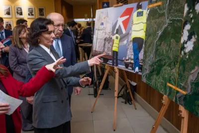
European Commissioners Hadja Lahbib and Andrius Kubilius observe satellite imagery and disaster response photos during the exhibition at the first cross-regional dialogue on space technologies and disaster risk management in Brussels. Lahbib points towards the displays, which show EU humanitarian aid operations and satellite mapping of flood-affected areas in Nepal.
Earth Observation
Earth Observation
Copernicus
Satellite Navigation
Galileo
Secure Communication
GOVSATCOM
IRIS²
On 14 October 2026, the European Commission held the first cross-regional dialogue on space technologies and disaster risk management in Brussels, with regional disaster management bodies from Latin…
Image of the day
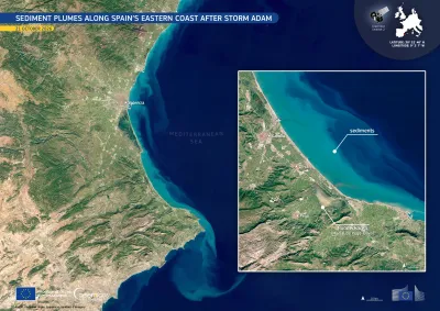
Valencia floods
Earth Observation
Earth Observation
Copernicus
Between 18 and 20 October 2026, intense rainfall caused by Storm Adam caused widespread flooding across the Valencia Region in eastern Spain, particularly in the coastal districts of La Safor and…
Image of the day
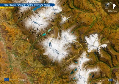
Cordillera Blanca
Earth Observation
Earth Observation
Copernicus
The Cordillera Blanca mountain range, in the Áncash Region of north-central Peru, holds the largest concentration of tropical glaciers in the world. Stretching for about 180 kilometres within the…
Image of the day
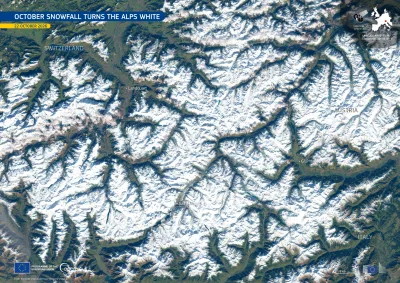
Snow Alps
Earth Observation
Earth Observation
Copernicus
Between 20 and 22 October 2026, a cold spell affected large parts of the western and central Alps. Falling temperatures brought wintry conditions to higher elevations and the first snowfall of the…
Events
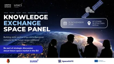
Knowledge exchange panel
Earth Observation
Earth Observation
Satellite Navigation
Secure Communication
Space safety
The Stalowa Wola Regional Development Agency (StARR) and SpaceSUITE are jointly organising an international KNOWLEDGE EXCHANGE SPACE PANEL in Stalowa Wola, Poland, focused on future skills, talent…
News
SWE
Space safety
Space safety
Space Situational Awareness
As part of the Commission’s work on space weather, a new study has been published examining the potential impacts of an extreme space weather event on various sectors across the EU.
Image of the day
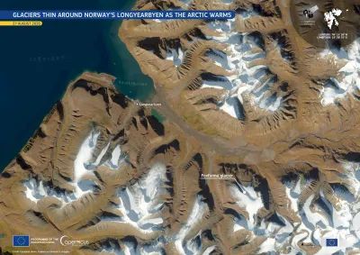
Longyearbyen
Earth Observation
Earth Observation
Copernicus
Longyearbyen, the largest settlement on the Norwegian archipelago of Svalbard, lies roughly halfway between mainland Norway and the North Pole. It is among the world’s northernmost settlements and is…
Resources
Space safety
Space safety
Space Situational Awareness
The Space Situational Awareness (SSA) component of the EU Space Programme aims at providing accurate information on the space environment and helps to ensure the uninterrupted functioning of space-based services for citizens and societies on Earth. It is therefore essential for fostering the strategic autonomy of the EU and its Member Sta

Showing 2041-2060 of 2101 results