Glacial ridges line Björkö in Finland's Kvarken Archipelago
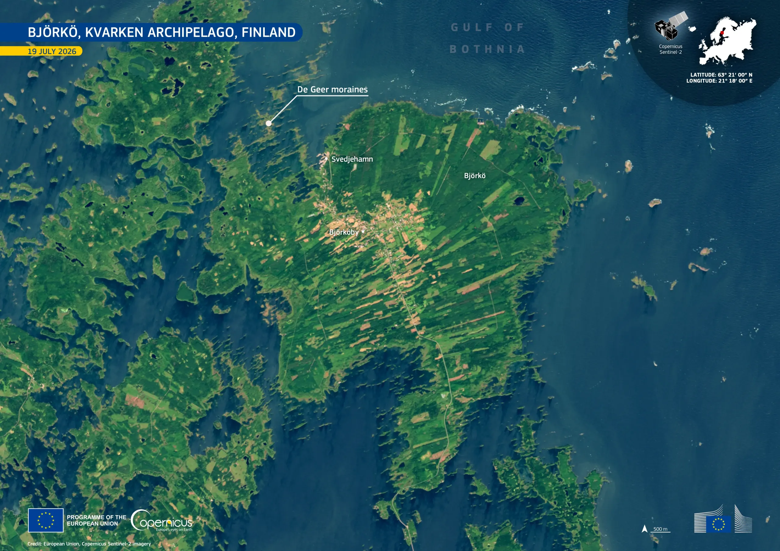
Björkö sits in Finland’s Kvarken Archipelago, part of a UNESCO World Heritage Site. Among the island's most distinctive features are the parallel De Geer moraines, a series of low ridges deposited as the ice sheet retreated at the end of the last ice age.
This image, acquired by one of the Copernicus Sentinel-2 satellites on 19 July 2026, shows Björkö set among dark blue waters, shallow inlets, and numerous smaller islets. Dense forest appears in deep green across the interior, while lighter fields and clearings form long, narrow strips around Björköby and along the island’s road network. Svedjehamn, a historic fishing harbour on the north-western coast, provides access to nearby nature trails.
Copernicus satellite data support regular monitoring of shoreline change, vegetation, and land use.