Mount Erebus casts a 35-kilometre-long shadow over Antarctic sea ice
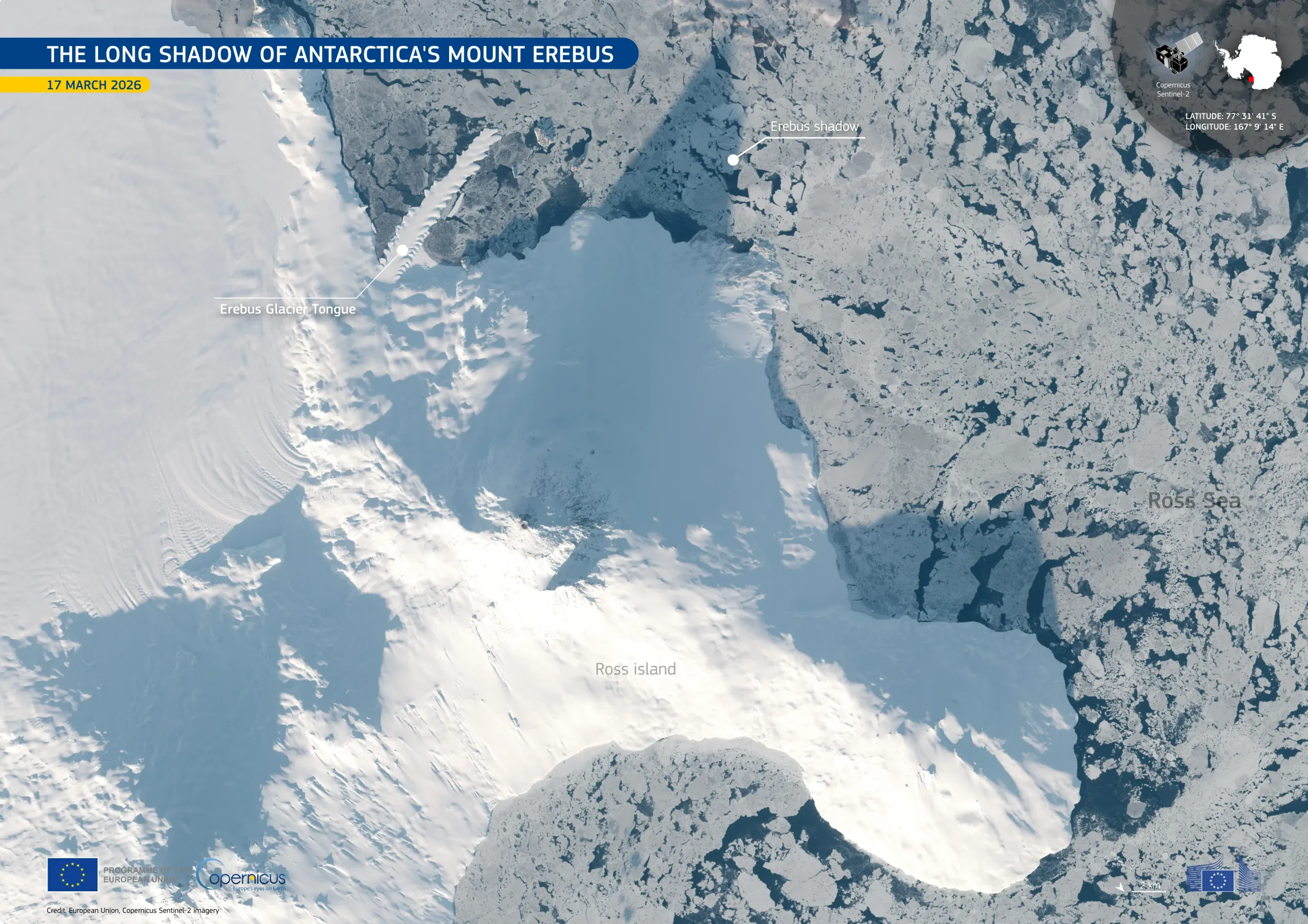
Mount Erebus, the southernmost active volcano on Earth, rises above Ross Island, Antarctica, reaching an elevation of approximately 3,800 metres. When the Sun sits low above the horizon at this high southern latitude, the mountain can cast long shadows across the surrounding landscape and sea ice, highlighting its height.
This natural-colour image, acquired by one of the Copernicus Sentinel-2 satellites on 17 March 2026, shows the snow-covered slopes of Mount Erebus and the nearby Erebus Glacier Tongue, a floating extension of glacial ice which stretches from the coast of Ross Island into the sea. The volcano's shadow extends north-eastwards for approximately 35 kilometres across the fragmented sea ice.
Data from Copernicus Sentinel-2 satellites support the monitoring of Antarctica’s remote polar environment, providing valuable information on glaciers, sea ice, and volcanic landscapes.