Hurricane Polo intensifies to Category 5 off Mexico’s Pacific coast within a day
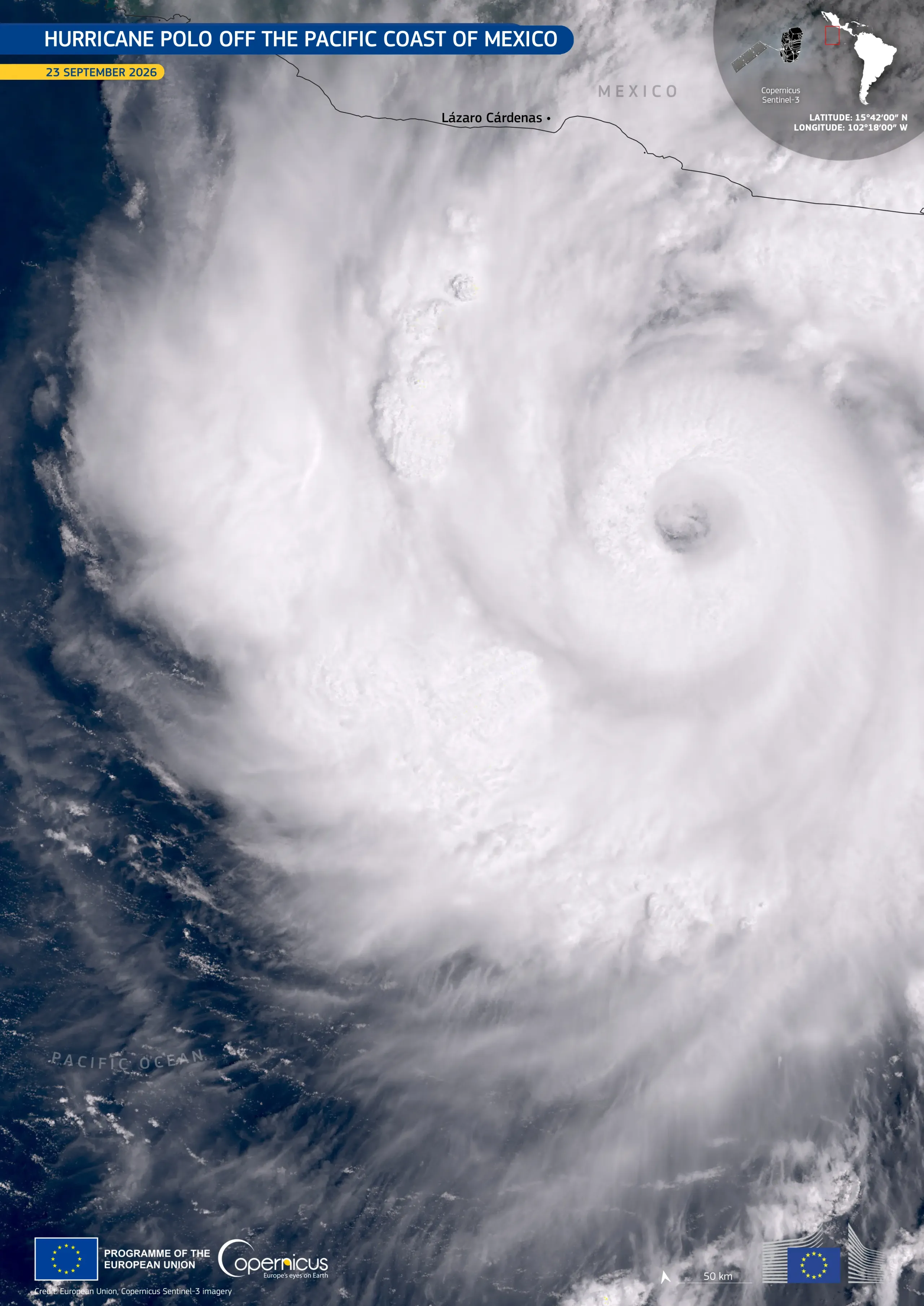
On 22 September 2026, Hurricane Polo reached Category 5, the highest level on the Saffir-Simpson hurricane wind scale, off Mexico’s southwestern Pacific coast. This marked a dramatic intensification from tropical-storm strength just a day earlier. At its peak, Polo reached maximum sustained winds of 290 km/h. On 23 September, Polo weakened temporarily before regaining Category 5 intensity later in the evening. Although the eye of the storm remained offshore, its outer rainbands extended over parts of the coast in the states of Guerrero and Michoacán, bringing heavy rainfall and a risk of flooding and mudslides.
This image, acquired by one of the Copernicus Sentinel-3 satellites on 23 September 2026, shows Hurricane Polo over the eastern Pacific Ocean. Its well-defined eye is visible within dense spiral cloud bands, which extend towards the Mexican coast.
Copernicus Sentinel satellites provide data for monitoring the structure and evolution of tropical cyclones.