Limfjord cuts across northern Denmark
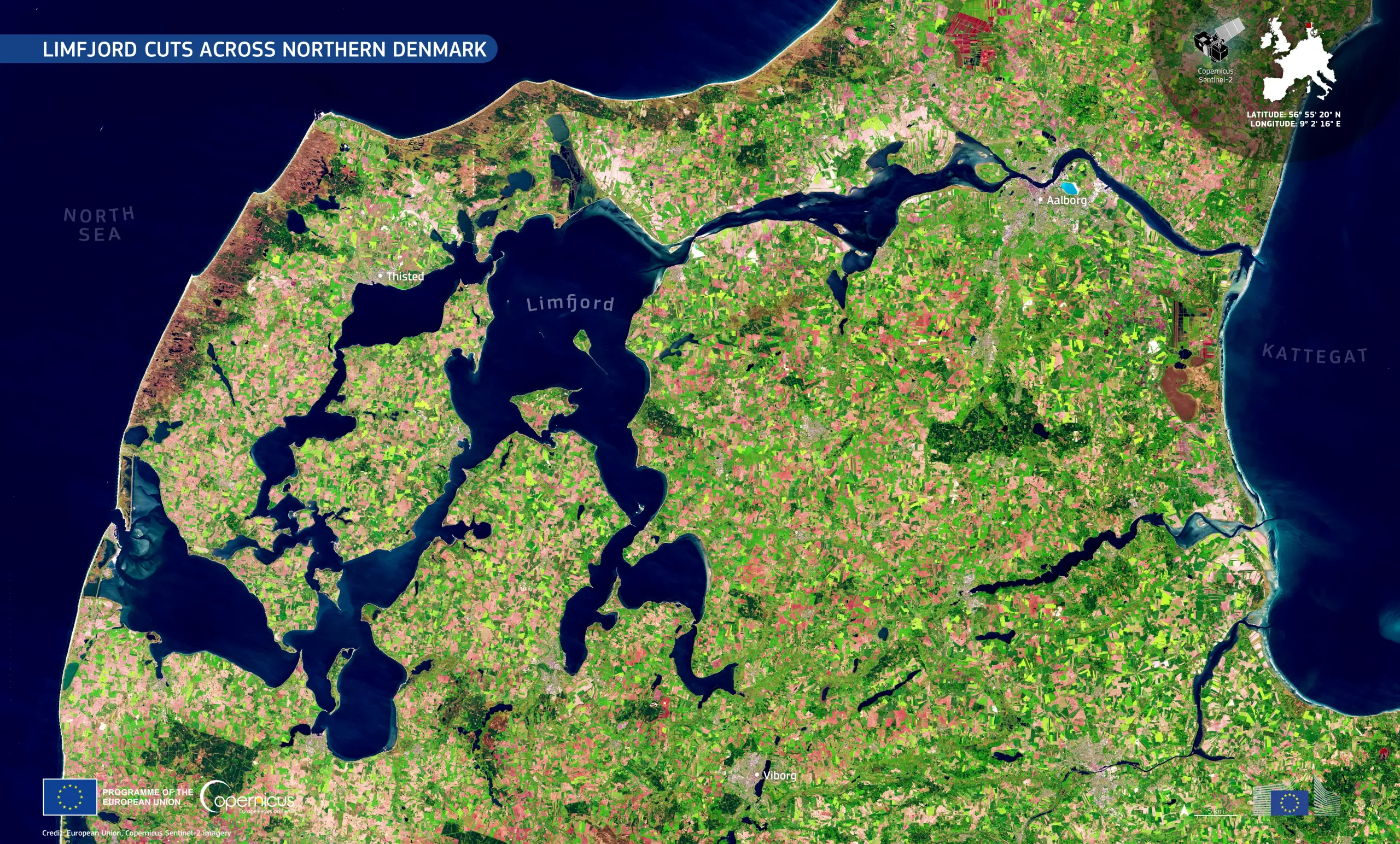
The Limfjord forms a distinctive network of waterways across northern Denmark, connecting the North Sea to the Kattegat, a marine area between Denmark and Sweden that serves as a gateway to the Baltic Sea. Along its shores, agricultural land, wetlands, towns, and shallow coastal areas create a varied landscape shaped by both natural processes and human activity.
This Copernicus Sentinel-2 image shows the Limfjord in dark blue across the landscape. Vegetation appears in vivid green, while bare ground and agricultural fields with little or no vegetation are shown in shades of pink and beige.
Copernicus Sentinel satellite data are essential for monitoring coastal changes, including erosion, sediment transport, and land reclamation, helping to inform the management and protection of coastal and marine environments.