Typhoon Saudel over the Philippine Sea
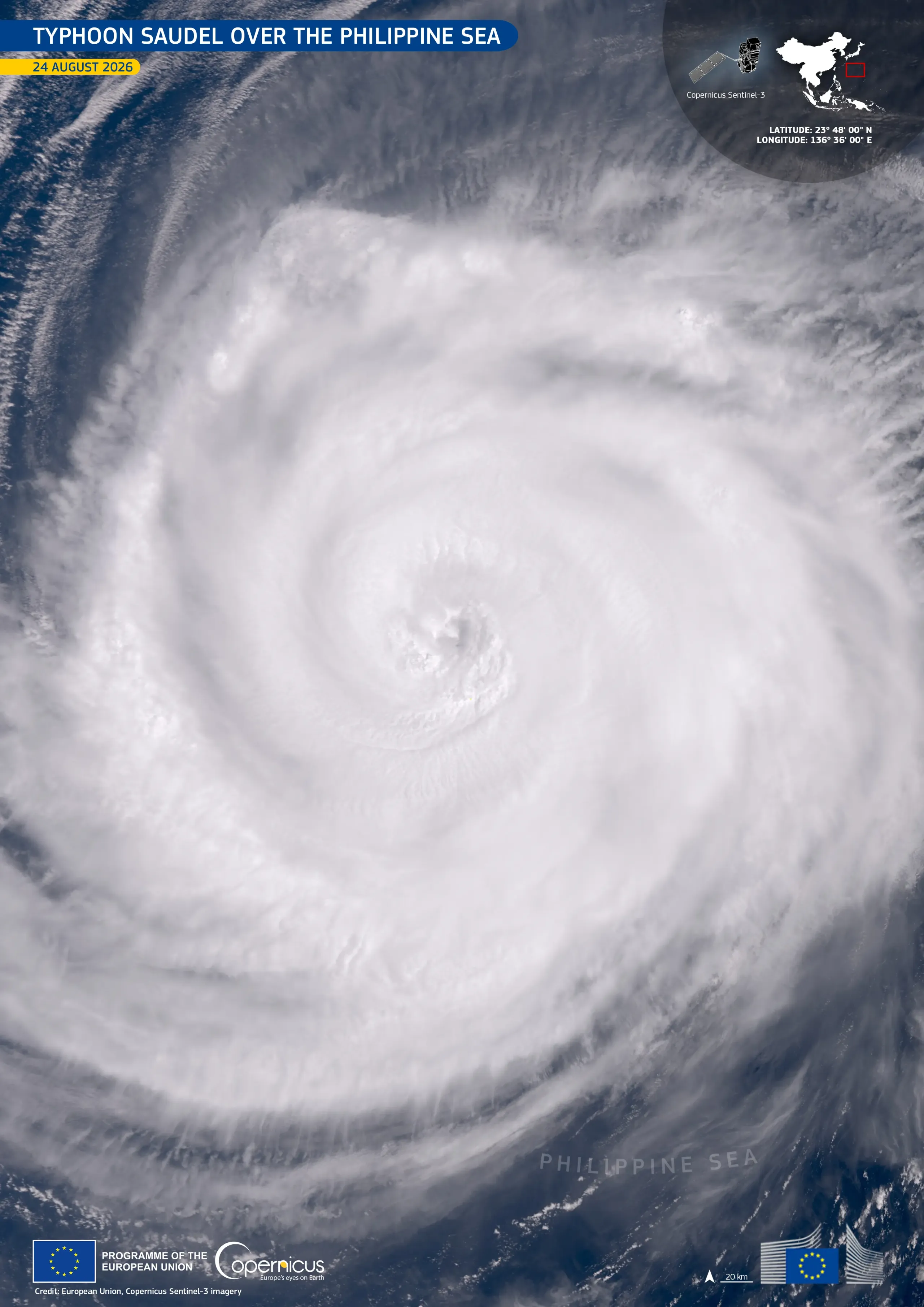
Saudel is a Category 4 typhoon currently tracking across the northwestern Pacific Ocean. On 24 August 2026, it moved across the Philippine Sea, passing southwest of Iwo To, a remote Japanese island, and moving towards Okinawa. Reports indicated maximum sustained winds of around 200 km/h.
This image, acquired by one of the Copernicus Sentinel-3 satellites on 24 August 2026 at around 00:49 UTC, shows Saudel over the Philippine Sea, with its cloud system spiralling around the centre of the storm.
Copernicus satellite data provide information for monitoring tropical cyclones and support disaster risk management in island and coastal regions.