A Winter Journey Along Poland’s Vistula River
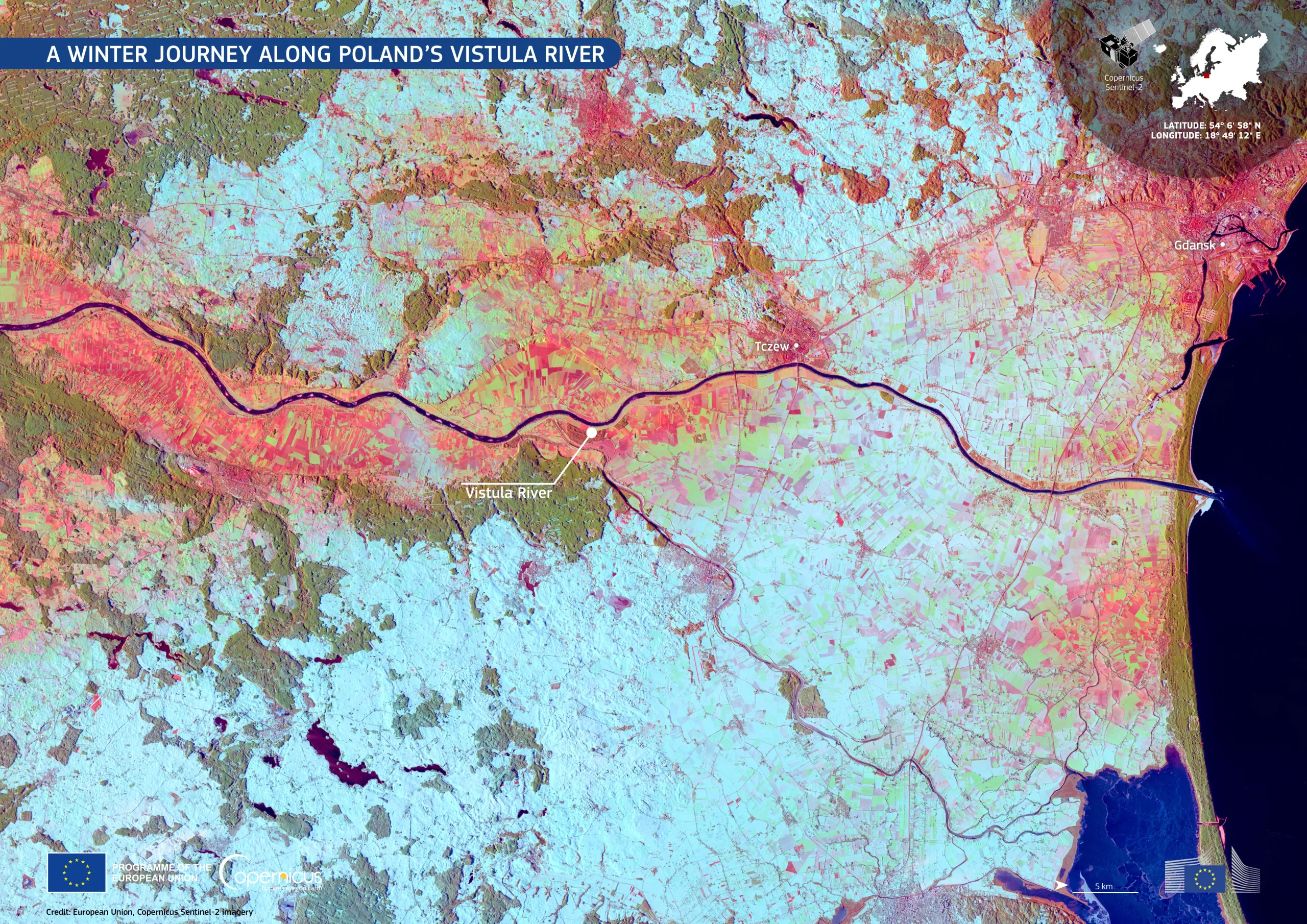
Poland’s longest river, the Vistula, flows northward from the Carpathian Mountains to the Baltic Sea, shaping the landscapes and ecosystems of the country along its 1,047-kilometre course.
This false-colour Copernicus Sentinel-2 image shows the Vistula winding through northern Poland towards its mouth near Gdańsk. Snow-covered fields and forests appear in cyan, while urban and agricultural areas are shown in warmer tones of red and green. The dark blue line of the river contrasts sharply with the wintry surroundings.
Copernicus Sentinel Satellite imagery is key for monitoring seasonal changes in land cover, mapping flood risks, and managing water resources.