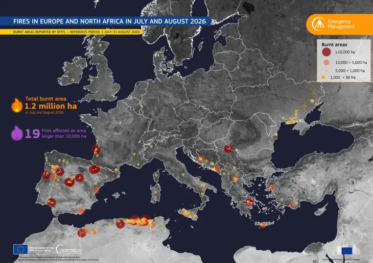
Wildfire prompts evacuations in Cinco Villas, Spain
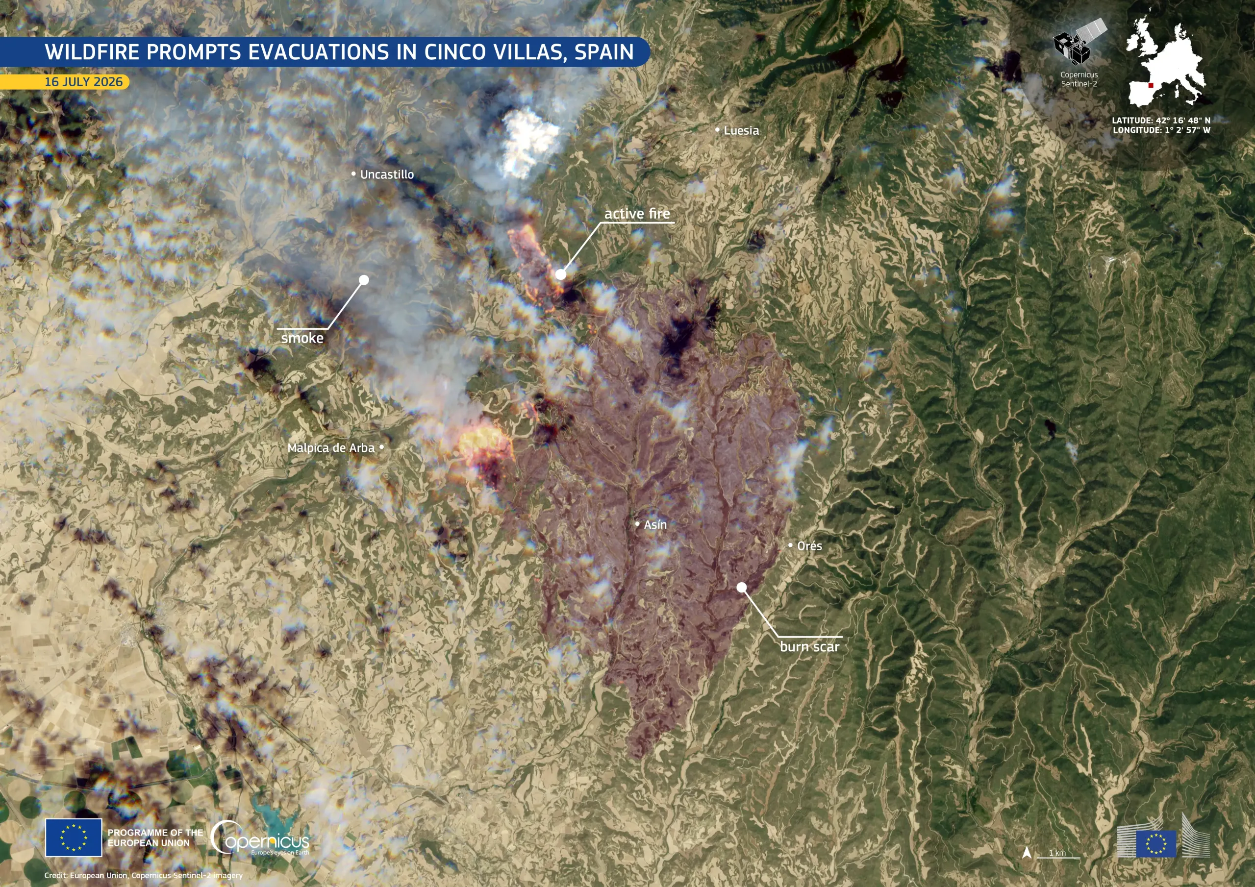
A wildfire broke out near the town of Orés, in the province of Zaragoza, Spain, on 15 July 2026. Driven by strong winds and low humidity, it spread rapidly across the Cinco Villas region. By 16 July, the fire had reportedly burned more than 4,500 hectares and reached buildings in the town of Asín. Residents of Orés and the neighbouring towns of Asín, Luesia, Malpica de Arba, and Uncastillo were evacuated.
The Copernicus Emergency Management Service (CEMS) On-Demand Mapping module was activated (EMSR896) to provide emergency mapping, including an initial rough estimate of the affected area, delineation, and damage assessment.
This image, acquired by one of the Copernicus Sentinel-2 satellites on 16 July 2026, shows areas of active fire north of Asín in red and orange tones, with a smoke plume extending westwards. The extensive brown and reddish area between Asín, Orés, and Luesia corresponds to the resulting burn scar.
Copernicus Sentinel imagery and products from the Copernicus Emergency Management Service support emergency authorities by providing timely information on fire progression, burnt-area extent, and impacts on surrounding land and settlements.