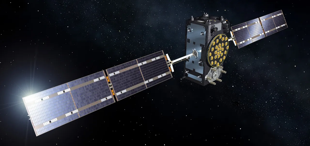
Galileo
Smart devices such as smartphones, wearable health gadgets, smart watches, and in-car navigation systems are seemingly everywhere. These devices are constantly communicating with each other... and with satellites.
Galileo in a nutshell
Galileo is the European Union’s Global Navigation Satellite System (GNSS) and part of the European Union’s Space programme. It has been operational since December 2016.
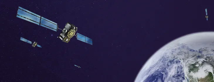
The system comprises more than 30 satellites orbiting Earth at 23,000 km, transmitting signals on Earth for use by any compatible device. Galileo provides accurate and reliable positioning, navigation and timing information in a multitude of sectors, such as mass-market application as well as railways, aviation, agriculture,maritime, and much more.
Galileo is three times more accurate than GPS, offering one metre accuracy and a wide range of services. It is fully funded by the European Union, operated under civilian control, and all of its services are provided free of charge to all users (with the exception of Public Regulated Service, reserved to government authorised users).
Why is Galileo important for our Union?
Galileo is vital for the European Union because it supports its ability to act and decide independently. Without Galileo, our economy would be dependent on systems operated by foreign powers. This means that, even if other navigation systems fail or are switched off, Europe can continue to rely on Galileo for accessing accurate positioning, navigation and timing services across all sectors, from transportation and aviation to communications, emergency response and military/defence users.
By ensuring autonomy, Galileo strengthens Europe’s security, economy and technological sovereignty.
Galileo is the result of unprecedented cooperation between the EU Member States, the EU institutions and the European space sector.
Galileo in my daily life
Galileo services
Galileo is more than just satellites in space. The EU, together with the EU Agency for the Space Programme, has developed a set of tailored services to meet the needs of users on Earth. Below are the services currently offered by the Galileo system.
The navigation, positioning and timing service for everyone ! This is what smartphones, car navigation systems and other everyday devices use.
The Galileo High Accuracy Service (HAS) provides free access to an accurate positioning solution using a Precise Point Positioning algorithm in real-time.
The Galileo Search and Rescue Service (SAR) swiftly relays distress signals to search and rescue crews, thereby supporting life-saving missions.
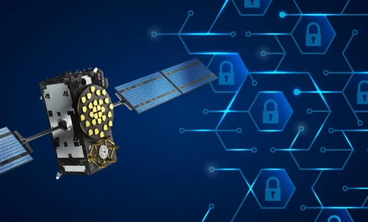
The Galileo Public Regulated Service (PRS) is a robust, encrypted navigation service for the European Union and partner countries’ government-authorised users.
Galileo keeps the economy spinning
Today, more than 4,5 billion devices worldwide are Galileo-enabled, with Galileo signals used in a wide range of applications including smartphones, road transport, aviation, maritime navigation and precision agriculture. We estimate that around 10% of the EU economy depends on the availability of global navigation satellite signals.
According to the European Union Agency for the Space Programme (EUSPA), the satellite navigation market generated €260 billion in revenues in 2023 and is expected to grow to €580 billion by 2033. The number of satellite-enabled devices is projected to exceed 10 billion by 2031 reflecting the increasing reliance of modern economies on positioning, navigation and timing services.
Considering the growing use of satellite navigation across various sectors, the EU invests in its uptake. It supports European companies through funding, research programmes, and innovation hubs, while promoting testing, demonstration, and deployment of Galileo-based solutions.
Who contributes to Galileo?
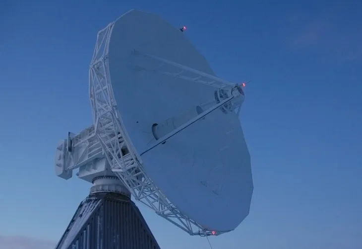
Galileo is owned and managed by the European Commission, while EUSPA is responsible for the exploitation of Galileo and the provision of Galileo services. The system infrastructure is developed and maintained by ESA on behalf of the EU.
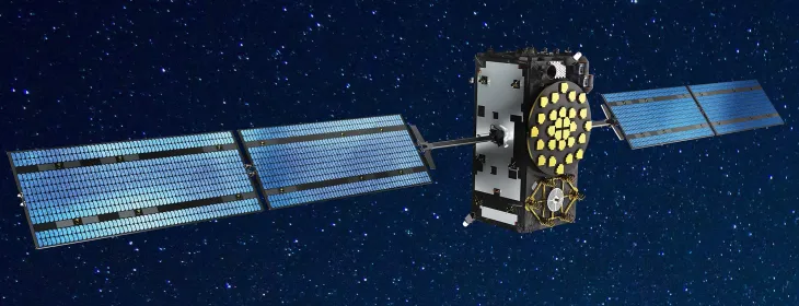
Galileo continues to evolve to meet future user needs through new satellites, innovative architectures, and enhanced services. Preparations are underway for Galileo Launch 15, scheduled for the end of 2026, which will add two more first-generation satellites to the constellation.
Galileo Second Generation (G2) satellites are being developed with advanced atomic clocks, fully digital payloads, electric propulsion, intersatellite links, and in-orbit reprogrammability, enabling greater accuracy, resilience, and flexibility.
Alongside these infrastructure developments, Galileo is expanding the range of services available to users. The Emergency Warning Satellite Service (EWSS), expected to become operational in 2026, will deliver hazard alerts directly to smartphones and navigation devices within seconds, including in areas where terrestrial networks may be limited. Additional services under development include the Signal Authentication Service (SAS), which will provide trusted and verified positioning information, and the Timing Service (TS), offering free, high-precision timing and synchronisation capabilities for sectors that rely on accurate and resilient time references.
Work is under way in the European Parliament and the Council on new proposals from the European Commission, notably the European Competitiveness Fund Regulation (2028–2034), which will shape the future of satellite navigation.
Europe is assessing a complementary Low Earth Orbit Positioning, Navigation and Timing (LEO-PNT) layer that would strengthen signal availability, improve performance in urban environments, and enhance resistance to interference while supporting future applications such as autonomous mobility and smart cities.
Frequently Asked Questions
You can use Galileo through devices that support satellite navigation, like smartphones, watches, or professional navigation equipment. If your device has a chipset that is compatible with Galileo it automatically uses information from it.
Yes, all Galileo services are provided for free to everyone and their use is completely anonymous (no need to register or subscribe), except for PRS which is only available to government authorised users.
Yes, some devices can use Galileo alone, but most devices use it together with GPS and other systems for better accuracy and reliability.
No, Galileo does not track you. Your location is calculated on your device using the satellite signals, but is not communicated to Galileo. The Galileo satellites are like lighthouses in space: they guide you every day and night, but they do not know who you are and where you go to !