
High Accuracy Service (HAS)
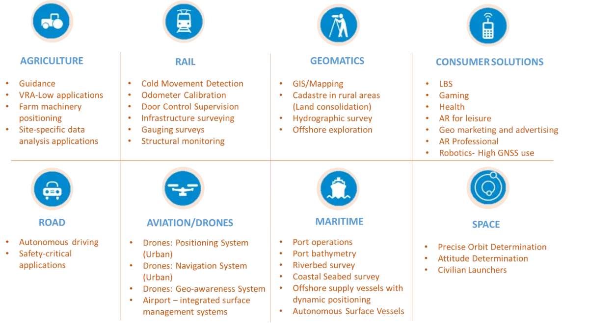
The Galileo High Accuracy Service (HAS) provides free access to an accurate positioning solution using a Precise Point Positioning algorithm in real-time. HAS boasts accuracy down to around 20 centimetres, making it ideal for applications which require a higher performance than what is offered through the generic Galileo Open Service. Applications include farm machinery positioning, offshore exploration and mapping, autonomous vehicles, drone navigation and positioning systems, maritime port operations, and more!
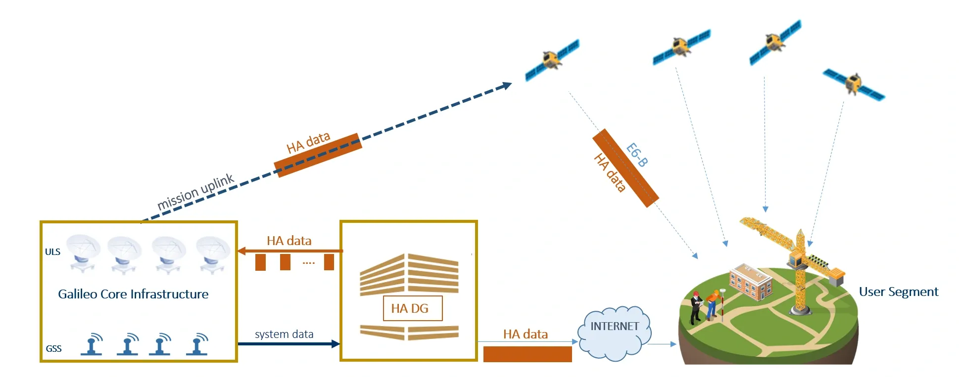
A special module called the High Accuracy Data Generator receives data from the Galileo Sensor Stations and generates corrections for Galileo and GPS signals. The High Accuracy (HA) corrections are relayed in real-time to the Galileo core infrastructure, which compiles the information and uploads the HA data back to the Galileo satellites. Finally, these satellites broadcast the HA data, which are picked up by all HA-enabled receivers.
User receivers integrate the HA corrections to the supported Galileo and GPS signals. Then, they compute precise positioning information through advanced algorithms.
Other Galileo services
The navigation, positioning and timing service for everyone ! This is what smartphones, car navigation systems and other everyday devices use.
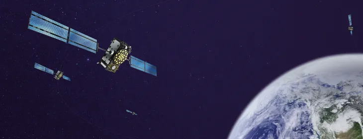
The service that provides precise positioning down to 20cm, for professional applications that need extra accuracy in positioning and navigation such as construction, geodesy, agriculture, drones or autonomous cars.
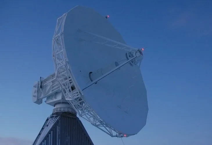
The service that helps saving lives ! It detects distress signals sent by emergency beacons and provides the location of this beacon to the rescue teams.
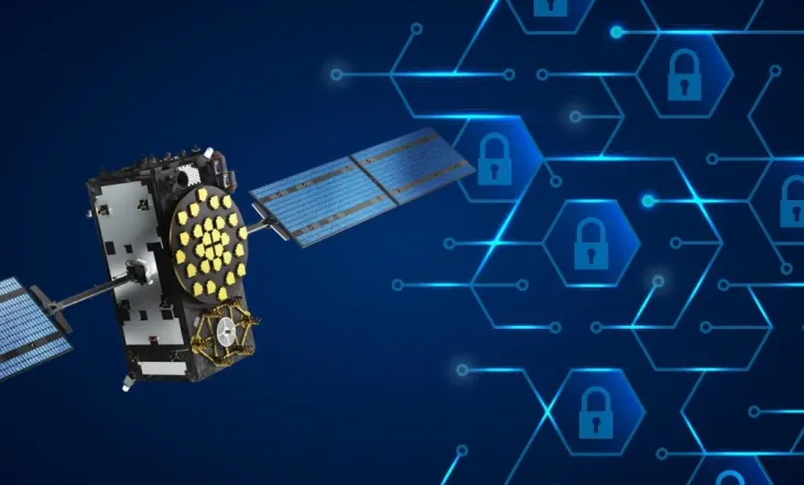
A secure, encrypted service available to government-authorised users only designed for sensitive applications including in the domain of defence. PRS ensures reliable service even if other navigation systems fail or are disrupted.