Explore EU Space

Results (2100)
RSS feed of these results
Image of the day
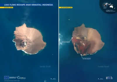
Anak Krakatau Shape
Earth Observation
Earth Observation
Copernicus
Anak Krakatau, a volcanic island in the Sunda Strait between Java and Sumatra, erupted continuously for 25 hours between 4 and 6 September 2026. According to Indonesia's Geological Agency, the…

Image of the day
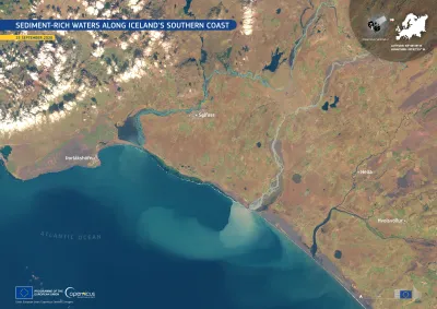
Sentinel-2 image of sediments in Iceland
Earth Observation
Earth Observation
Copernicus
Glacier-fed rivers flow across southern Iceland from the country’s volcanic and glaciated interior towards the North Atlantic Ocean. Glaciers act like giant sandpaper, wearing down the rock…
Image of the day
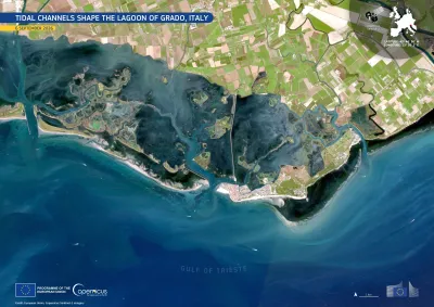
Sentinel-2 image of the Grado lagoon in Italy
Earth Observation
Earth Observation
Copernicus
The Lagoon of Grado, A 90-square-kilometre protected coastal wetland, lies along the Adriatic coast of Friuli Venezia Giulia, a region in north-eastern Italy. It sits about 30 km west of Trieste and…
Image of the day
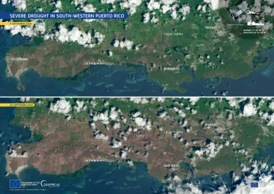
Copernicus Sentinel-2 image showing drought in Puerto Rico
Earth Observation
Earth Observation
Copernicus
Puerto Rico, in the north-eastern Caribbean, is facing a severe drought. According to the US National Integrated Drought Information System (NIDIS), extreme drought conditions were affecting 37% of…
Events
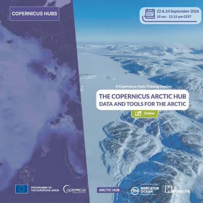
webinar copernicus land
Earth Observation
Earth Observation
Copernicus
This webinar will showcase the methodology behind Protected Areas 2021, demonstrating evidence-based conservation monitoring across European bioregions. The new semi-automatic techniques achieve…
Image of the day
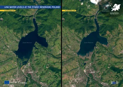
Copernicus Sentinel-2 images showing the Żywiec Reservoir, in southern Poland, facing low water levels after prolonged dry conditions
Earth Observation
Earth Observation
Copernicus
The Żywiec Reservoir, in southern Poland, is facing low water levels after prolonged dry conditions. In early September 2026, a hydrological drought warning has been issued for the area as water…
Image of the day
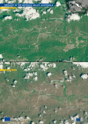
Before-and-after Copernicus Sentinel-2 satellite images of the Motagua Valley in Guatemala, showing the area around San Agustín Acasaguastlán and El Rancho. The 25 September 2025 image shows predominantly green vegetation, while the 20 September 2026 image shows much drier, brown vegetation across the valley and surrounding hills, illustrating the effects of drought.
Earth Observation
Earth Observation
Copernicus
Guatemala has been affected by scarce rainfall during the 2026 wet season, coinciding with the development of El Niño conditions in the equatorial Pacific Ocean. These dry conditions particularly…
Image of the day
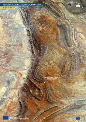
Flinders ranges
Earth Observation
Earth Observation
Copernicus
The Flinders Ranges, extend across the arid interior of South Australia, forming a landscape of folded ridges, valleys, and exposed rock formations. Part of the area is protected inside the…
Image of the day
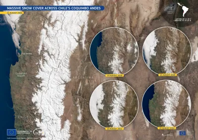
Snow Andes
Earth Observation
Earth Observation
Copernicus
In August 2026, snow cover across the western Andes in Chile’s Coquimbo Region stood at twice its usual extent. According to the Centre for Advanced Studies in Arid Zones (CEAZA), the monthly median…
Image of the day
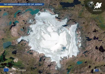
Hardangerjøkulen glacier
Earth Observation
Earth Observation
Copernicus
Hardangerjøkulen is a plateau glacier in southern Norway and, with an area of about 64 km², it is the country’s sixth-largest glacier. It is rapidly retreating and projected to disappear before the…
Image of the day
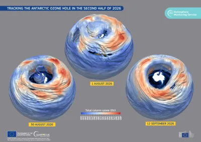
International Day for the Preservation of the Ozone Layer
Earth Observation
Earth Observation
Copernicus
16 September marks the United Nations International Day for the Preservation of the Ozone Layer, highlighting its important role in protecting life on Earth from harmful ultraviolet radiation.

Showing 81-100 of 2100 results