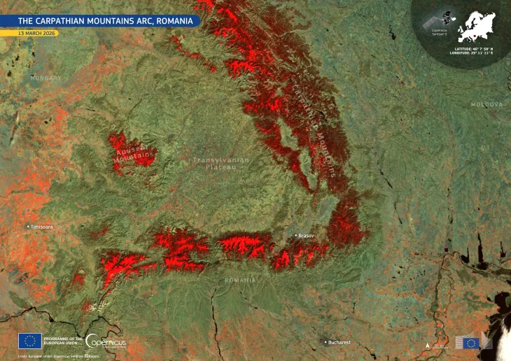
Copernicus Sentinel-3C returns its first views of Earth
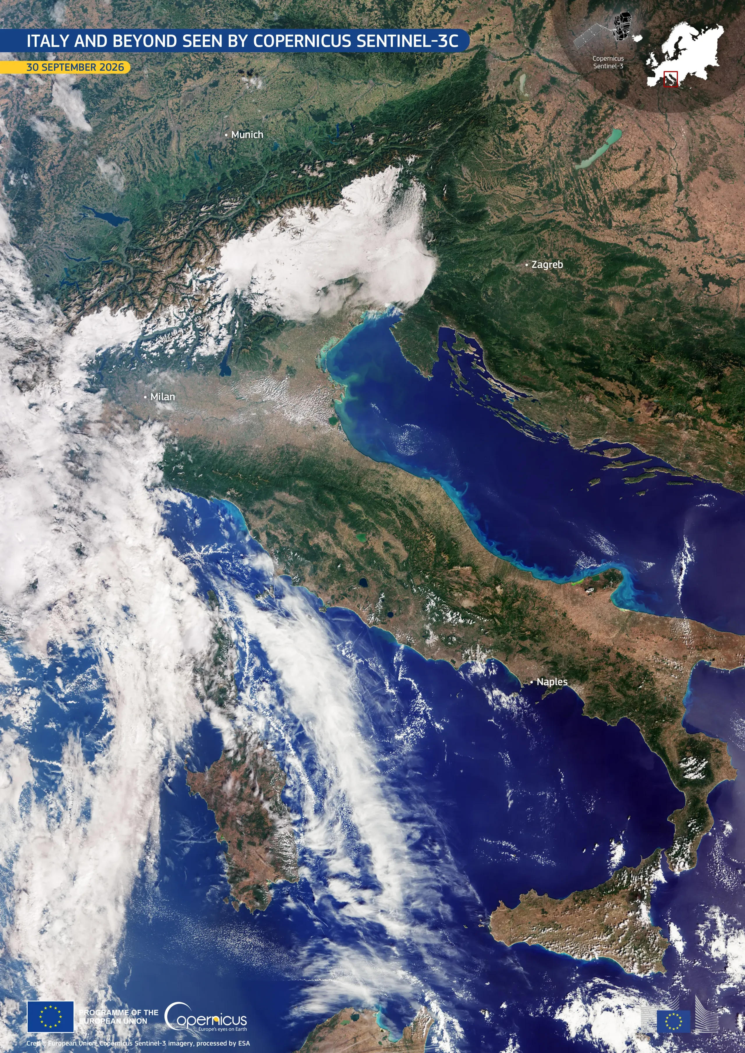
Less than a month after its launch on 15 September 2026, the Copernicus Sentinel-3C satellite has delivered the first images and measurements from two of its instruments: the Ocean and Land Colour Instrument (OLCI) and the Synthetic Aperture Radar Altimeter (SRAL).
This image, acquired by the Sentinel-3C OLCI on 30 September 2026, shows Italy in natural colour. The view stretches from southern Germany in the north to Sicily to the southern Mediterranean. The snow-covered Alps contrast with the brown and green tones in the Po Valley and the rest of the Italian peninsula. To the east, the deep blue waters of the Adriatic Sea separate Italy from the Balkan Peninsula, which is partially visible in the image. On Italy’s western side, the dark waters of the Tyrrhenian Sea surround the islands of Sardinia and Sicily, which are clearly visible, while Corsica is largely obscured by clouds.
These first acquisitions from Copernicus Sentinel-3C provide an initial indication of the satellite’s performance and represent a step towards full operational service for monitoring Earth’s oceans, land, cryosphere, and atmosphere.
For more information and to discover the other images acquired by Sentinel-3C, read this article here.