Delhi’s dense urban landscape extends along the banks of India’s Yamuna River
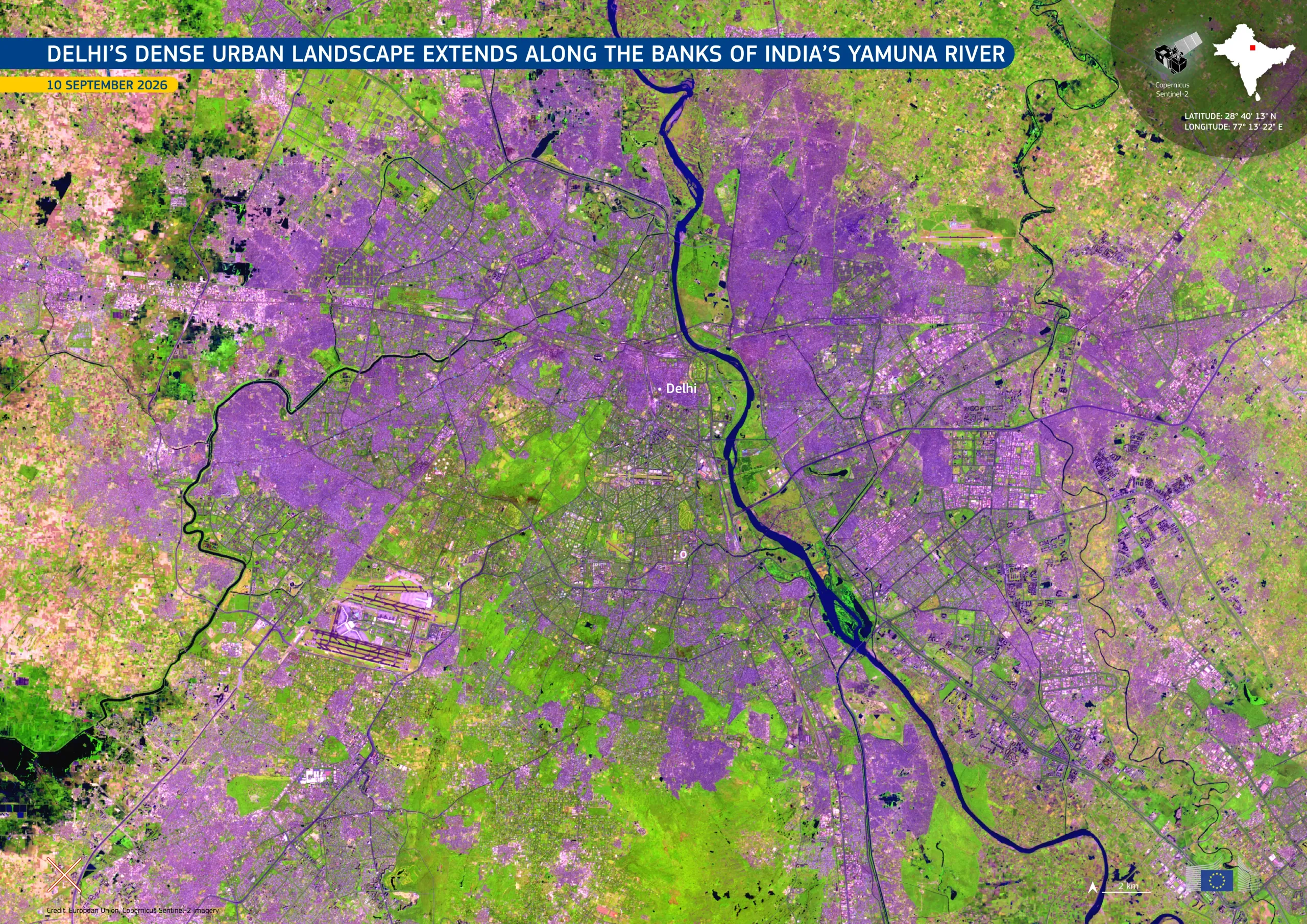
Delhi, the metropolitan area which includes India’s capital, New Delhi, covers a vast and densely built expanse in the plains of northern India. The Yamuna River, a major tributary of the Ganges, winds through the city, flowing across housing, transport networks, commercial districts, green spaces, and agricultural land.
Acquired on 10 September 2026 by one of the Copernicus Sentinel-2 satellites, this false-colour image shows built-up areas in purple and magenta tones and vegetation in bright green. The dark waters of the Yamuna River run through the image from north to south-east, and the runways of the Indira Gandhi International Airport are visible in the south-west of the image.
Copernicus Sentinel satellite data support the monitoring of urban sprawl and land cover change, contributing to urban planning, green space protection, and sustainable environmental management.