About Copernicus
Copernicus in a nutshell
Copernicus is the Earth observation component of the EU Space Programme, providing continuous, autonomous monitoring of our planet. It combines satellite data with in-situ measurements to deliver reliable, near real-time and authoritative information services. The information provided by the Copernicus services can be used by end users for a wide range of applications in a variety of areas:
- climate action and environmental protection
- urban planning and infrastructure development
- agriculture, forestry and fisheries
- disaster risk management and emergency response
- health, transport, energy and tourism
Why is Copernicus important for our Union?
Copernicus is the European Union’s Earth observation component of the EU Space Programme. Its space component is centred on an approximately 20-satellite Sentinel constellation launched since 2014 and expanding towards 2030, complemented by contributing missions. It is reinforced by in-situ observations from ground, airborne and marine sensors, while six thematic services turn these data into actionable information. It helps detect climate risks early, from rising temperatures and droughts to floods, wildfires and changing seas.
By tracking emissions, land use, forests, oceans and ice, it supports prevention and stronger climate mitigation policies. Its information helps public authorities, researchers and businesses plan resilient infrastructure, agriculture and water management. During climate-related emergencies, Copernicus enables faster response through mapping, forecasting and situational awareness.
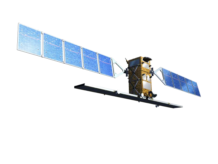
The European Union is the owner of the Copernicus Sentinel satellites, which are developed by the European Space Agency (ESA) with the European space industry. The data they collect supports a wide range of applications including agriculture, atmosphere monitoring, forest and land use mapping and urban planning.
In addition to the Copernicus Sentinel satellites, Copernicus also benefits from ‘contributing missions’. Contributing missions are existing commercial and government satellites providing part of their data to help feed and improve Copernicus products and services.
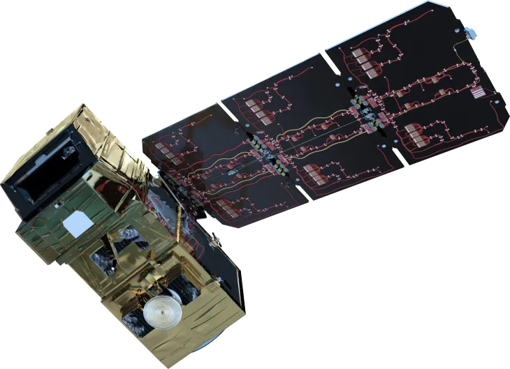
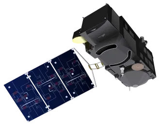
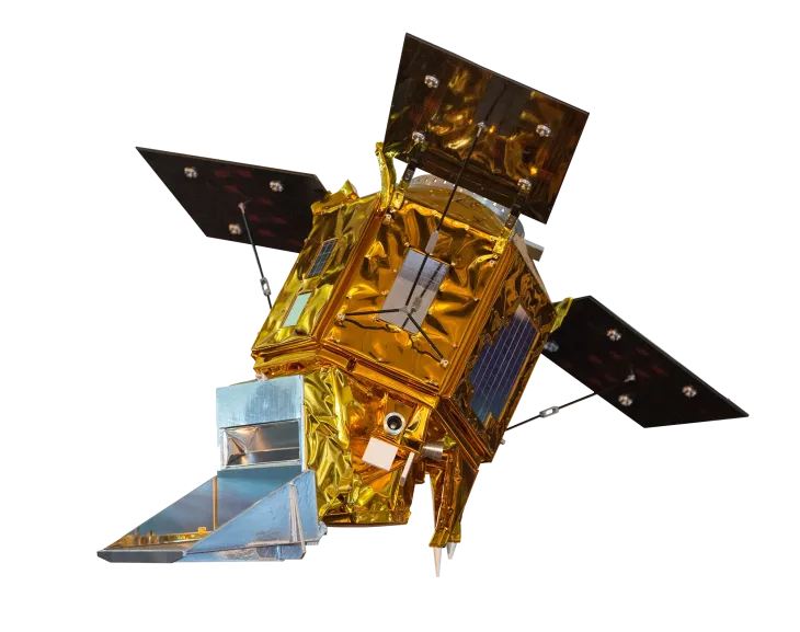
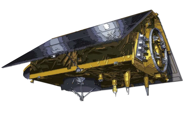
Sentinel satellites are organised into 6 missions with several similar satellites per mission. Each mission has its unique focus and dedicated sensor types:
Copernicus Sentinel-1
The Sentinel-1 mission provides high-resolution all-weather, day and night radar imagery of the Earth’s surface.
Sentinel-1 satellites radar sensors are particularly useful for crop monitoring, measuring ground movement after earthquakes, and measuring water cover, including during floods.
Copernicus Sentinel-2
The Sentinel-2 mission provides high-resolution optical imagery over land and coastal areas, supporting applications such as vegetation monitoring, land and water cover mapping, and disaster management.
Copernicus Sentinel-3
The Sentinel-3 mission monitors Earth’s oceans, land, and ice to track large scale environmental change. It carries optical, thermal, microwave, and altimetry instruments to measure sea surface temperature, ocean colour, and surface topography. This data is critical to understand how climate change is affecting the Earth’s environments.
Copernicus Sentinel-4
The Sentinel-4 mission monitors key air quality trace gases and aerosols over Europe, providing hourly data on key gases such as nitrogen dioxide, ozone, sulphur dioxide, formaldehyde, and aerosols. This data is key for air quality measurements, weather forecasts, and understanding our atmosphere.
Copernicus Sentinel-5
Sentinel-5 is dedicated to atmospheric composition monitoring. Sentinel-5 satellites provide accurate measurements of key atmospheric constituents such as ozone, nitrogen dioxide, sulphur dioxide, carbon monoxide, methane, formaldehyde, and aerosol properties. Sentinels-4 and -5 are complementary, with one providing hourly data over Europe, and the other providing data covering the entire globe.
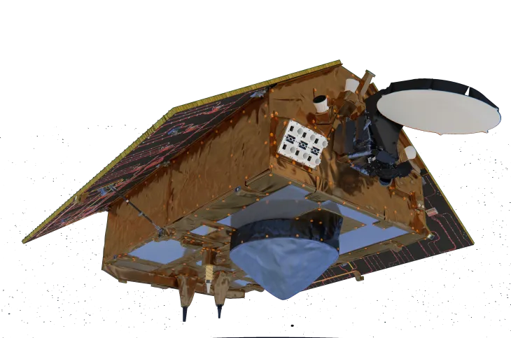
Copernicus Sentinel-6
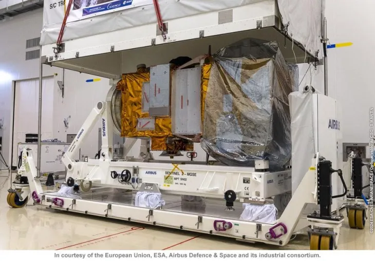
Sentinel-6 provides high accuracy altimetry for measuring global sea surface height, primarily for operational oceanography – enabling precise ocean circulation models and long-term sea level trend analysis – and for climate studies.
Copernicus generates over 22 terabytes of data daily. This data is made available on a free, full and open basis to users worldwide. Access is provided through dedicated Copernicus Data Portals, offering:
- reliable and standardised datasets
- near real-time information
- user-ready products and tools
Health Hub
The Copernicus Health Hub brings together all the Copernicus environmental data and products pertinent to Health, including that related to physical health, mental health and well-being.
Coastal Hub
The Copernicus Coastal Hub provides open and free access to a selection of coastal Earth observation data from the Copernicus Sentinel satellites and all Copernicus Services.
Energy Hub
Copernicus Energy Hub: Connecting environmental data and Earth Observations to the green energy transition.
Arctic Hub
The Copernicus Arctic Hub provides access to data and information in the Arctic. Explore interactive maps and thematic use cases and empower decision-making and sustainable practices.
Heritage Hub
The Copernicus World Heritage Hub serves as a centralised, purpose-built platform dedicated to supporting using Copernicus and other data for the monitoring, preservation, and informed management of cultural and natural heritage sites.
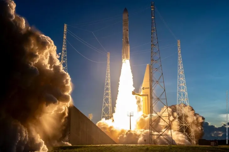
The next six Copernicus Sentinels: Sentinel-1C, Sentinel-1D, Sentinel-2C, Sentinel-3C, and the Copernicus Anthropogenic Carbon Dioxide-A and -B satellites will be launched on Vega-C rockets from Europe’s Spaceport in French Guiana and are scheduled to take place between 2024 and 2026.
The European Parliament and the Council are currently working on new legislative proposals from the European Commission, in particular the proposal for a European Competitiveness Fund Regulation (2028–2034) covering Earth Observation and Copernicus.
Copernicus is managed by the European Commission in cooperation with key European partners, including the European Union Agency for the Space Programme (EUSPA), the European Space Agency (ESA) and the European Organisation for the Exploitation of Meteorological Satellites (EUMETSAT), alongside EU Member States and a wide network of public and private stakeholders.
The operational Copernicus services are implemented by several specialised European organisations. The European Centre for Medium-Range Weather Forecasts (ECMWF) implements the Atmosphere Monitoring and Climate Change services. Mercator Ocean International implements the Marine Service. The European Environment Agency implements key components of the Land Monitoring Service and coordinates the in-situ data component. The Joint Research Centre implements the Emergency Management Service and the global component of the Land Monitoring Service. The Copernicus Security Service is implemented with the support of the European Maritime Safety Agency (maritime surveillance), the European Border and Coast Guard Agency (border surveillance) and the European Union Satellite Centre (support to EU external action).
Copernicus in my daily life
Copernicus supports decision-makers across sectors, including:
- public authorities and policymakers
- emergency responders
- researchers and innovators
- private sector operators
Applications include environmental policy, disaster response, agriculture optimisation, mobility planning and climate adaptation.
Copernicus also enables downstream markets, driving new commercial services and business models across the European space economy.
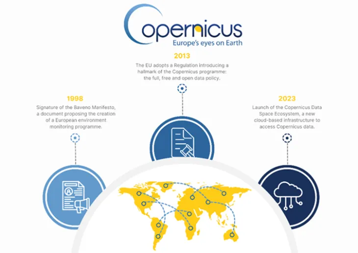
A Timeline of Copernicus