Amvrakikos Gulf, Greece
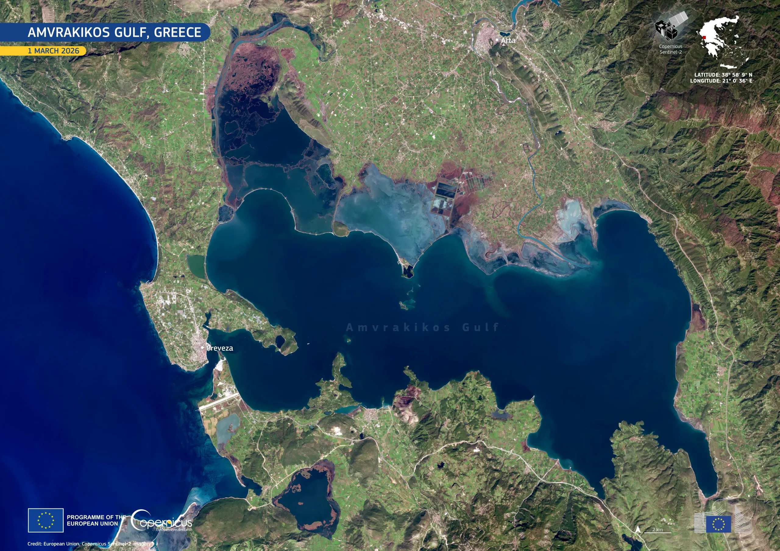
The Amvrakikos Gulf in western Greece is a semi-enclosed marine basin connected to an extensive system of coastal lagoons and river deltas designated as Wetlands of International Importance under the Ramsar Convention and included in the Natura 2000 network. Fed by the Arachthos and Louros rivers, the area combines open marine waters with shallow lagoons, mudflats, and saltmarshes of high ecological value, supporting fish nurseries and significant bird populations.
Located near the city of Arta in western Greece, the lagoon is visible in turquoise tones in this Copernicus Sentinel-2 image acquired on 1 March 2026. Agricultural fields inland form a regular pattern in bright green.
Copernicus data support ongoing monitoring of water quality, sediment transport, and habitat change, supporting conservation and sustainable land management in coastal and wetland environments.
![Download [WEBP, 1.46 MB]](https://eu-space.europa.eu/sites/default/files/2026-05/20260302_Amvrakikos%20Gulf.webp)