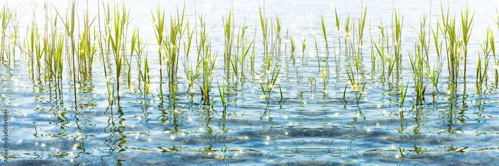
Water isn’t just essential for our health and the planet’s well-being - it’s the foundation around which we've built much of our society.
That’s why many of the EU Space Programme’s data and services today revolve around analysing bodies of water, from oceans and freshwater environments to coastal regions, driving forward new solutions for global problems.
EU Space in maritime and water

Europe’s survival and growth depend on water
Copernicus is constantly collecting data on water for a multitude of essential applications, including:
- Modelling climate change through water surface temperature and monitoring our polar ice caps
- Checking the health of water bodies and their water quality
- Predicting floods and droughts
- Checking crop health to better anticipate agricultural yields
- Supporting hydroelectric power generation and forecasting output
Beyond the fundamental reasons for monitoring water quantity and quality, there is also the fact that our water-based economy has high potential for growth. From aquaculture and tourism to marine biotechnology, the EU’s ‘blue economy’ relies on Copernicus data to foster its growth.
Surface Water Information Management (SWIM)
This Horizon Europe-funded project uses Copernicus information to provide continuous and reliable data on water quality and predictions of future conditions. It also assesses flood and drought risks.
SWIM will use this information to create easy-to-use recommendations for decision makers via an AI-powered app. The app’s reports will help public authorities and stakeholders ensure access to high-quality water and sanitation in Europe.
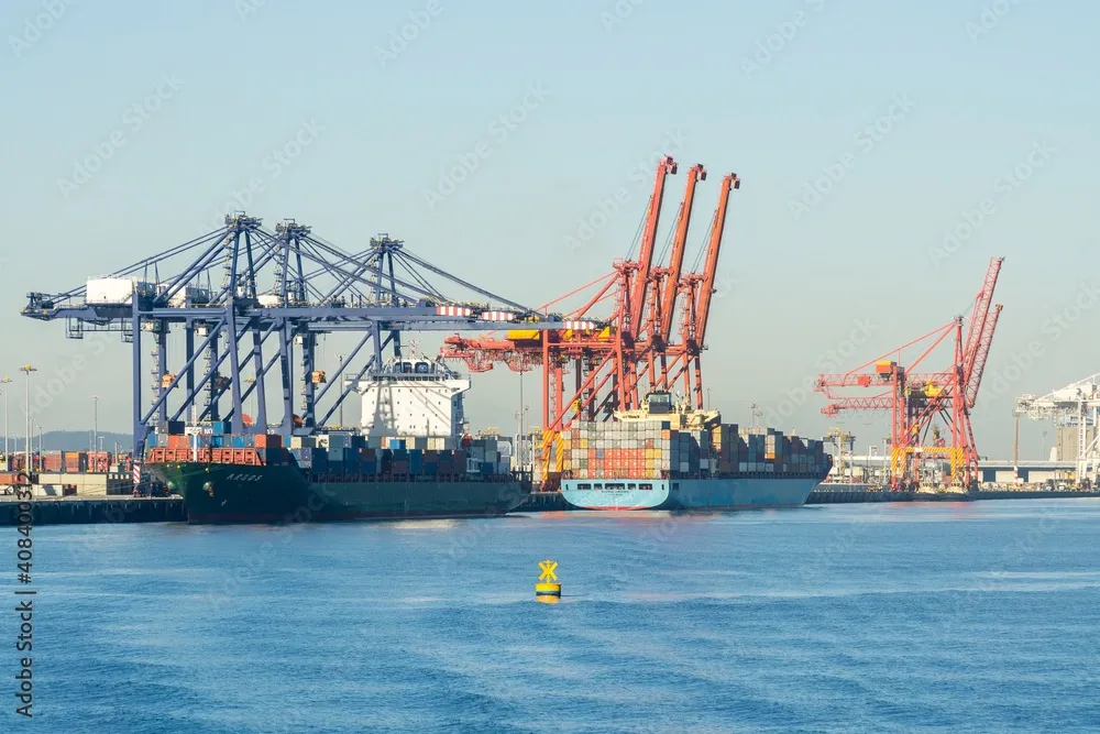
Your guide on the high seas
The sea continues to be the primary route for global trade, with overseas trade volume consistently increasing over the years. Indeed, Europe’s ports and inland waterways are bustling with business, making it even more important to make sure maritime operations are running smoothly and safely.
Here’s how Copernicus, EGNOS, and Galileo support our vessels at sea:
- EGNOS and Galileo help vessels and port authorities with navigation and port entries, protecting signal quality even in difficult situations like storms.
- The Galileo Search and Rescue (SAR) service supports authorities with rescue missions anywhere in the world, providing fast alerts and precise localisation to save lives.
- Galileo, EGNOS, and Copernicus work together to find optimal routes for vessels, update coastal nautical charts, and pinpoint areas polluted by vessels in events such as oil spills.
- GOVSATCOM provides secure, resilient communications when terrestrial networks fail or do not exist, including at sea. When operational, IRIS2 will complement GOVSATCOM to support a diverse range of activities, from enabling Coast Guard ships to carry out safety and security missions to providing connectivity services for passengers on tourism cruise ships!
PASSport
PASSport is a EUSPA-funded project that uses Galileo and EGNOS’ high accuracy authentication services with a fleet of semi- autonomous drones. These drones will use Galileo services to improve the security of hundreds of European ports.
The drones will focus on monitoring:
- Pollution levels
- Vital infrastructure and buildings
- Underwater threats
- Non-cooperative vessels approaching the port
- Vessels in need of e-Navigation support
Helping Europe become a better steward of Earth’s water
EU Space data is invaluable for meeting the goals of the EU’s Blue Economy and sustainable water policies. Here are just some examples of how EU Space directly contributes to EU policy:
- Copernicus data related to water monitoring contributes to the EU Water Framework Directive’s goal of ensuring cleaner bodies of water around Europe.
- Copernicus ability to monitor water quality and detect harmful algae blooms is also essential to following the Bathing Water Directive for safer beaches.
- EGNOS improves the precision of the Vessel Traffic Monitoring and Information Systems (VTMIS), increasing the accuracy of vessels’ in-port positioning.
Other sectors

The challenge of growing food sustainably is one of the greatest of this century. It will require using our resources in an environmentally friendly way – especially our soil and water.
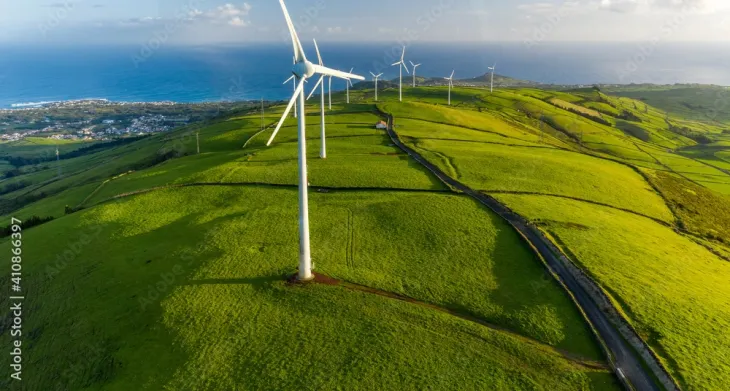
The EU Space Programme plays a crucial role in supporting Europe's energy transition and environmental protection.

When we say Copernicus is Europe’s eyes on Earth, we mean all of the Earth. It is able to observe nearly the entire surface of the globe, including its atmosphere, land, and ocean environments.
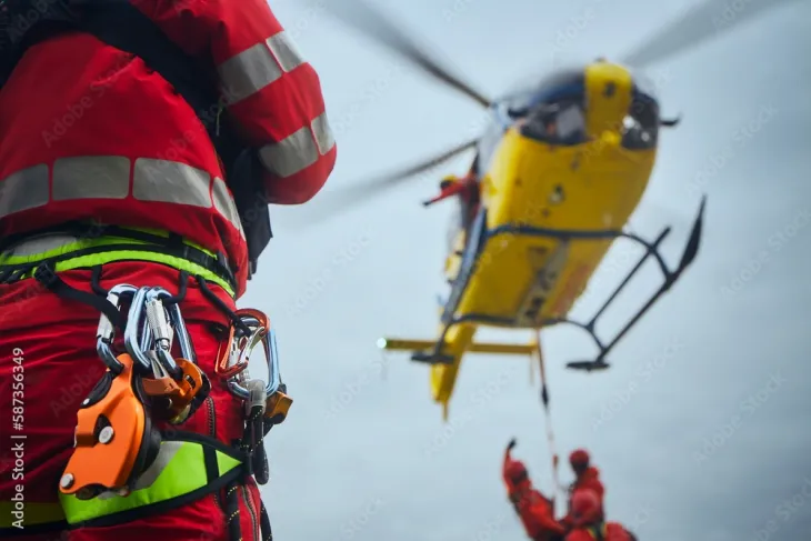
When lives are at stake, EU Space safety and security services play a key role. From forecasting drought risk to guiding humanitarian aid and response, each component of the EU Space Programme plays an important part in protecting communities.

Thanks to navigation systems like Galileo and EGNOS, it’s never been easier to find cultural sites and events at home and abroad. Space-based solutions can also support conservation and preservation efforts for historically or culturally significant sites.

The way we live and move is increasingly shaped by insights and technologies from the EU Space Programme.