Earth Observation | Copernicus
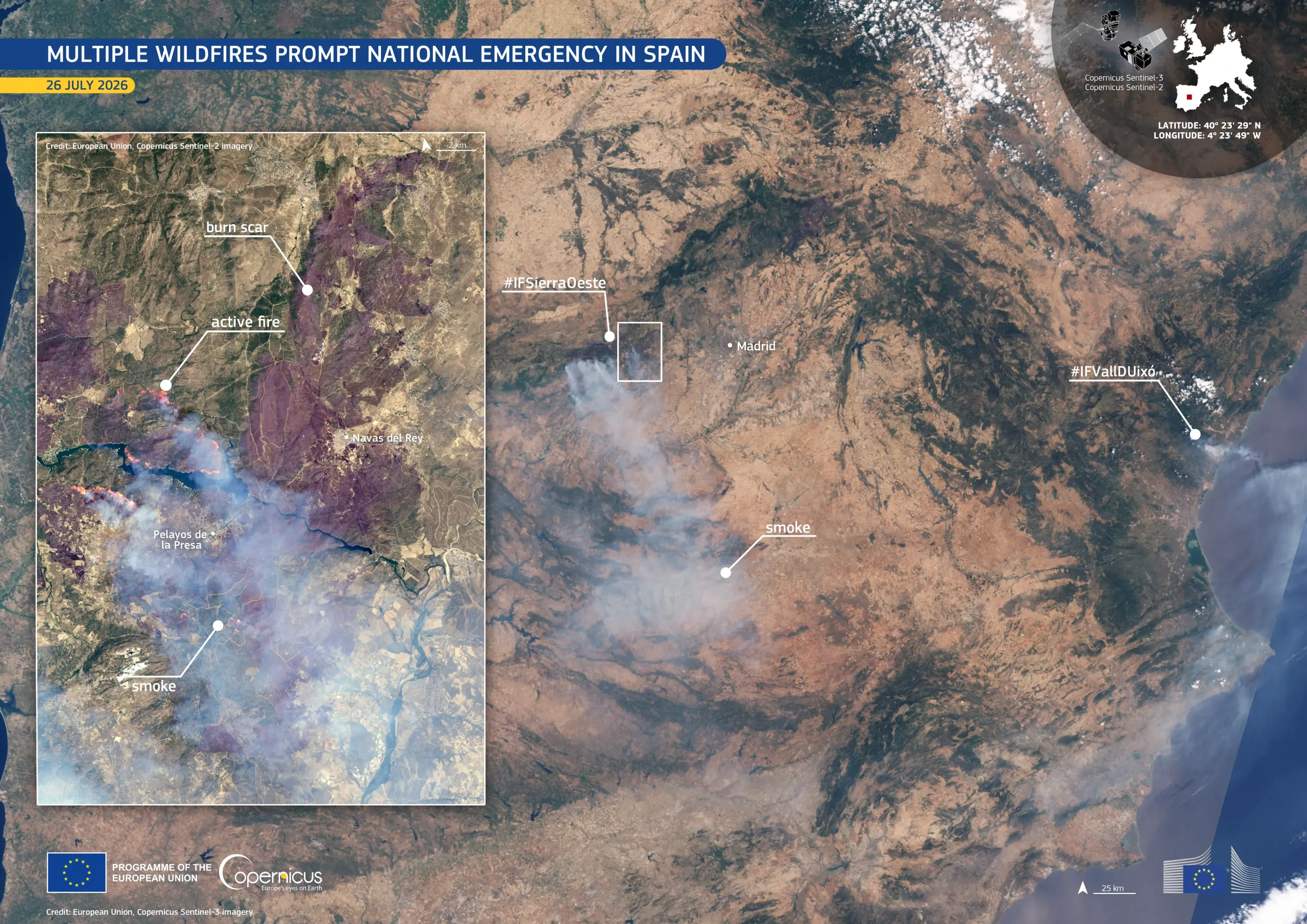
Earth Observation provides us the tools we need to better understand and monitor our planet. This information can be used to make better decisions on the ground, from how to respond to wildfires to how to reduce air pollution in our cities.
Earth Observation (EO) is the use of remote sensing technologies, primarily satellite-based systems, complemented by ground-based (in-situ) sensors and monitoring stations, to gather, process and analyse data about the Earth’s land, rivers and lakes, marine environment and atmosphere. By integrating these diverse data sources, EO enables us to map current Earth and environment conditions, forecast near-term trends and take informed action—whether for tracking human land use, assessing disaster risks, or supporting a wide range of applications across industries.
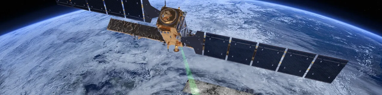
Through satellite-mounted payloads, EO captures high-resolution imaging and other critical measurements, transforming raw data into actionable insights for decision-making.
- There are 772 European companies active in the EO sector, employing 13,796 employees and generating EUR 1.796 billion in revenue
- EO market expected to grow rapidly from €3.4 billion in 2023 to almost €6 billion in 2033.
- Climate, Environmental and Biodiversity segment accounts for 22% of EO revenues.
- It is estimated that SMEs and start-ups account for nearly 96% of European Earth Observation companies.
- The European EO industry covers more than a third of the global data processing market.
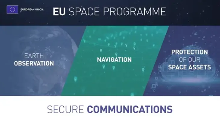
The EU Space programme’s Earth Observation component for monitoring our environment is Copernicus. It provides a massive array of freely accessible data and analysis for all kinds of users. Its six services, covering land, marine and atmospheric environments, as well as climate change, security, and emergency management, are helping Europe make more sustainable and secure choices every day.
Copernicus will be complemented by the Earth Observation Governmental Service (EOGS), to enhance situational awareness in support of preparedness, decision-making and the action of the Union and Member States in the fields of security and defence.
Highlights


Copernicus services
By processing and analysing this wealth of data, Copernicus delivers value-added information and
products which are streamlined through six thematic Copernicus services:

The Copernicus Atmosphere Monitoring Service (CAMS) works to provide quality-assured data and information on the atmospheric composition with a focus on air pollutants and greenhouse gases.

The Copernicus Climate Change Service (C3S) provides free and open access to its state-of-the-art, quality-assured climate data and insights to help inform climate adaptation and mitigation strategies worldwide.
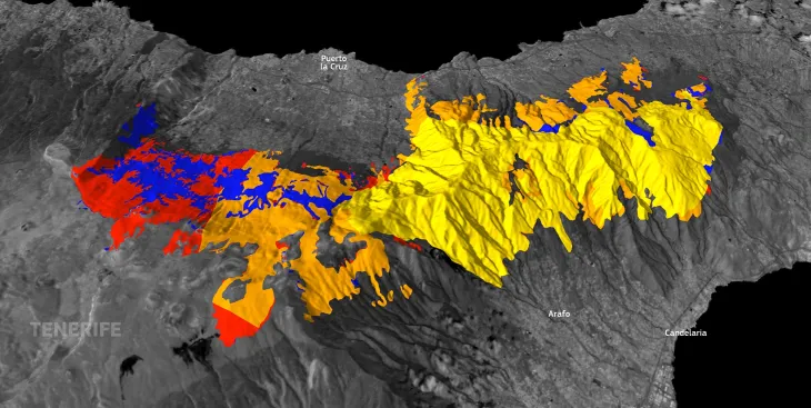
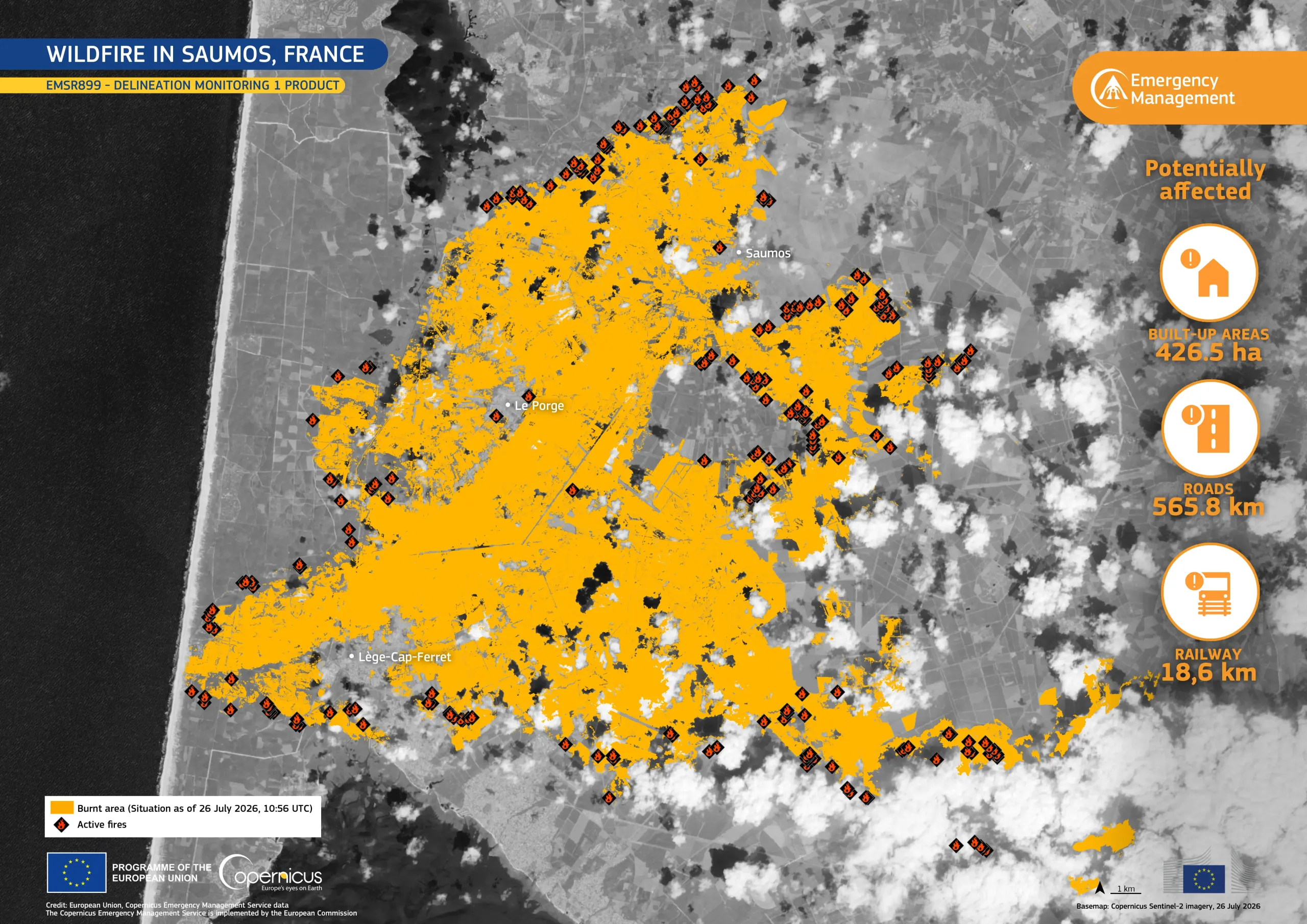
The Copernicus Emergency Management Service (CEMS) works to increase resilience, prevent the loss of life and property, and reduce damage to ecosystems before, during, and after disasters.
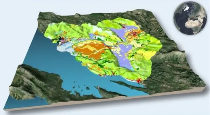
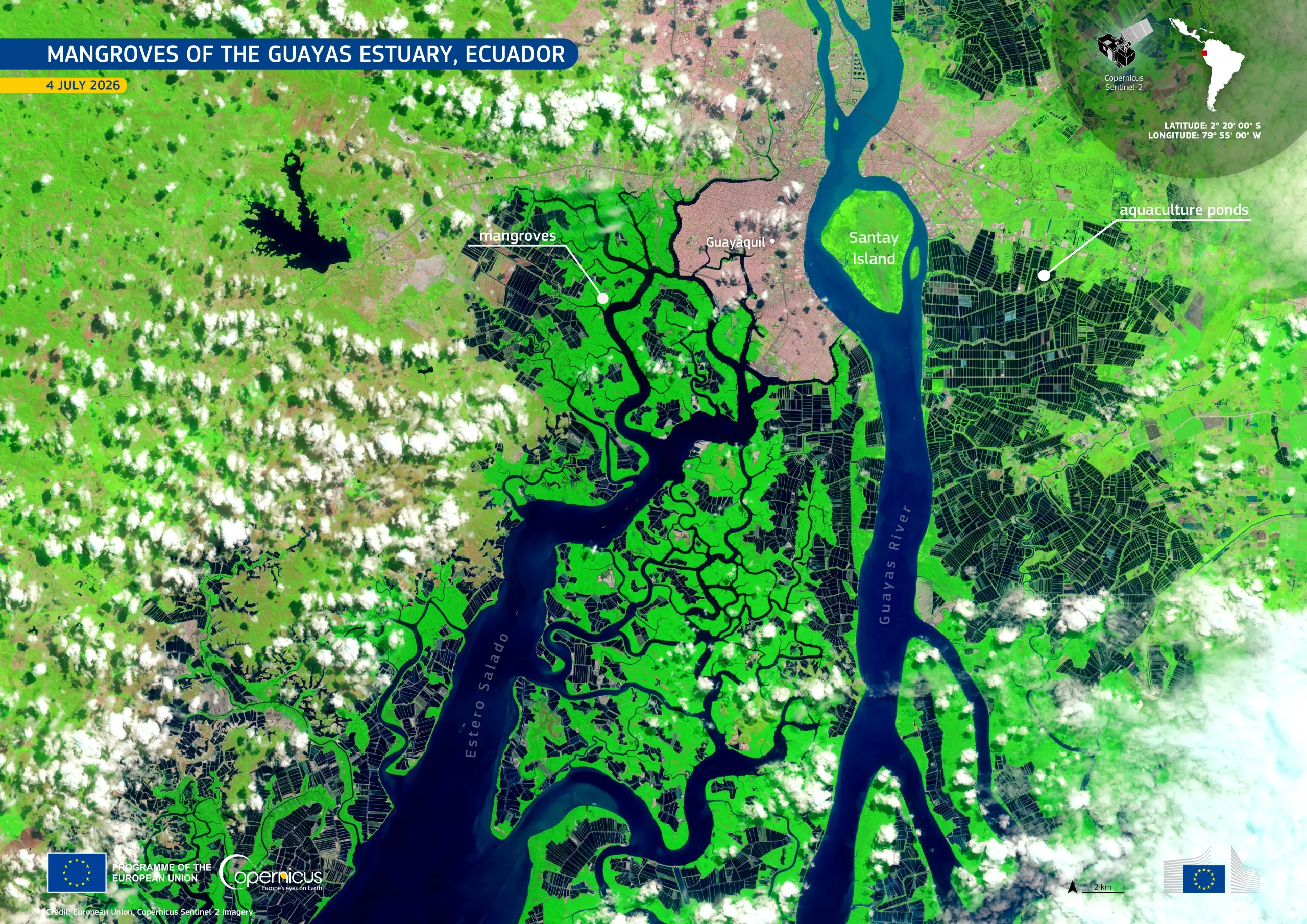
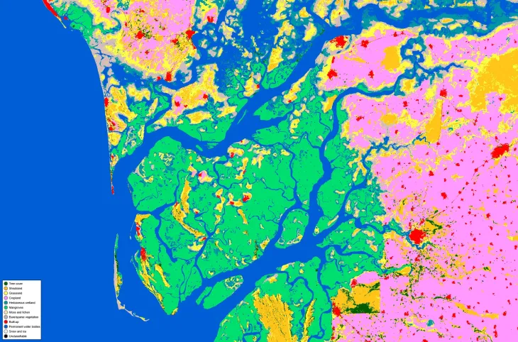
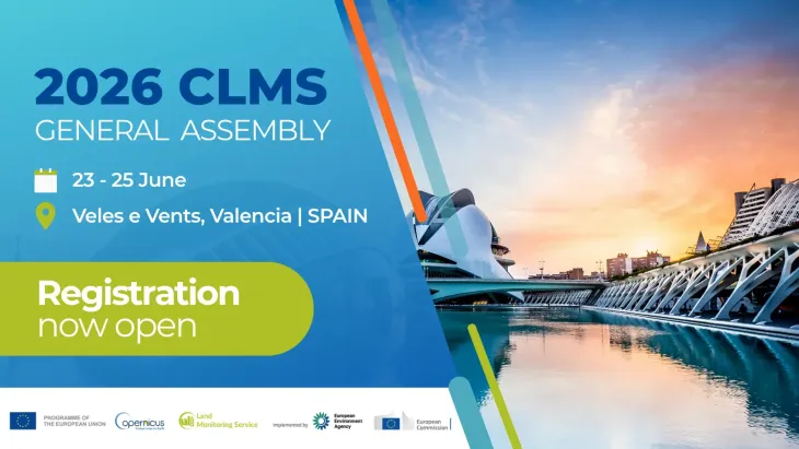
The Copernicus Land Monitoring Service (CLMS) helps Europe and the world make safer and more sustainable choices with regards to our planet and its vital resources.
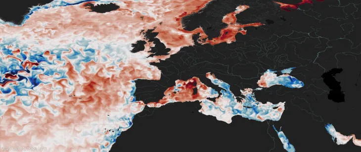
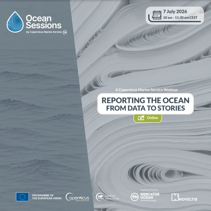
The Copernicus Marine Service (CMEMS) provides free and open data and services tracking these important ocean indicators. Its information helps to combat pollution, protect marine environments, develop new energy resources, raise global awareness of ocean-related issues, and much more.
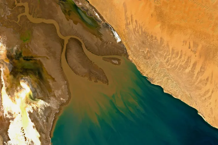
The Copernicus Security Service (CSS) supports innovative strategies to meet Europe’s security and foreign policy needs. It enables activities ranging from mapping and monitoring illegal logging or mining activities to combatting marine pollution and supporting law enforcement at sea.
Framework Partnership Agreement on Copernicus User Uptake
The Framework Partnership Agreement on Copernicus User Uptake (FPCUP) is dedicated to increasing
the number of Copernicus users and the uptake of Copernicus data and services worldwide.
Copernicus Data Portals
Copernicus generates over 15 terabytes of data daily. The vast majority of data/information delivered by Copernicus is made available and accessible to any citizen, and any organisation around the world on a free, full, and open basis. But how can all of this data be accessed? Via the Copernicus Data Portals. The portals of the Copernicus Programme offer a trustworthy, well-documented, and reliable source of timely high-quality data in the form of reference products.
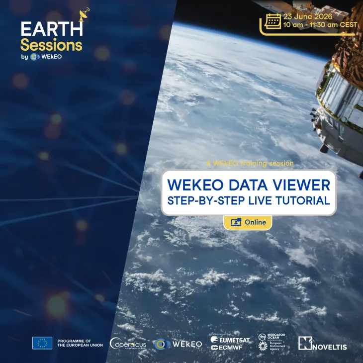
Access to Copernicus products from Sentinel satellites with visualisation tools, data processing, and cloud environment.
Free unified access to environmental data, processing tools, and expert support from environmental Copernicus Services.