The way we live and move is increasingly shaped by insights and technologies from the EU Space Programme.
EU Space delivers a wealth of information on our environment, on traffic and congestion, and on infrastructure layout and more. This data helps us better plan and manage our cities and transportation networks.
EU Space in transport and urban planning
Living in cities built with EU Space
Did you know city authorities, urban planners, and other actors involved in building smart, connected, and climate neutral cities use Copernicus, Galileo and EGNOS?
- Copernicus can help planners monitor progress toward making our urban spaces greener and provide information on air quality levels and pollutants.
- Galileo navigation data can be used to improve urban mobility and traffic management, contributing to smarter urban planning.
- Galileo and EGNOS data combine with those from Copernicus to support 3D urban modelling for energy efficiency, flood risk assessment, and infrastructure planning.
- Galileo and EGNOS provide precise site surveying for construction, while Copernicus informs environmental impact assessments and sustainable design.
Space4Cities

This EU Space-funded project is improving public space management and transportation infrastructure. It demonstrates what space components are capable of by addressing a number of issues facing cities such as:
- Sustainable mobility
- Digital urban planning
- Climate adaptation
Helping you take the best route to where you need to go
Global navigation satellite systems are now widely used for transportation. No matter how you're traveling, satellite positioning is likely helping guide your journey. In fact, Galileo and EGNOS are essential to air travel operations in Europe.
However, EU Space data provides more than that. It also delivers services which:
- Support transportation in safety-critical operations
- Collect and distribute traffic information and data that can make mobility smarter and greener
- Monitor dangerous atmospheric phenomena, such as the dispersion of volcanic ash, which can impact aviation.
- Enable new technologies like automated vehicles and drones
Certified E-GNSS remote tracking of drone and aircraft flights (CERTIFLIGHT)
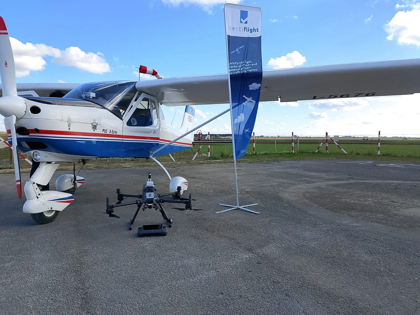
This EUSPA-funded project introduces a new E-GNSS backed digital system. It generates certified reports of flight tracks and flight logs to support new applications for unmanned aircraft (like certified new routes for drone package delivery). These reports will also help track and prevent air space infringements, accidents, and other incidents.
The use of Galileo Services will guarantee the authenticity of aircraft positioning and protect against malicious attempts to manipulate or hide information.
Opening new avenues for EU transportation
EU Space data is contributing to the work of local governments, businesses, and innovators across the EU. Here are some of the ways it’s helping EU-level policymakers:
- EGNOS and Galileo navigation data help us meet the objectives of the EU Urban Mobility Framework by supporting location-based services and real-time tracking that enable more digital and sustainable public transportation systems.
- EU Space data feeds into the EU’s Sustainable Urban Mobility Plans (SUMPs), which promote the integration of satellite data into urban transport planning and monitoring.
- EGNOS and Galileo are playing a key role in the European Drone Strategy 2.0, which strives to create a thriving drone sector by providing precise positioning and authentication services for transportation, delivery, telecommunications, and data gathering sensors.
Other sectors

The challenge of growing food sustainably is one of the greatest of this century. It will require using our resources in an environmentally friendly way – especially our soil and water.
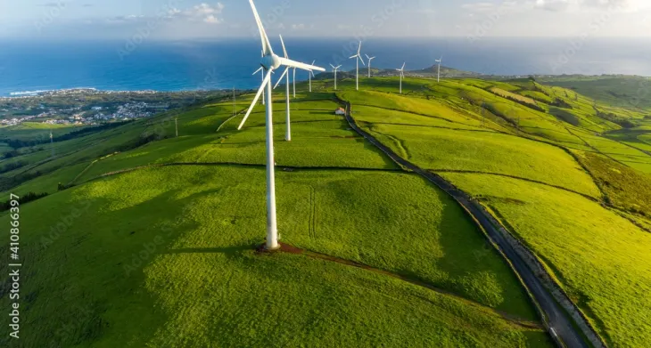
The EU Space Programme plays a crucial role in supporting Europe's energy transition and environmental protection.

When we say Copernicus is Europe’s eyes on Earth, we mean all of the Earth. It is able to observe nearly the entire surface of the globe, including its atmosphere, land, and ocean environments.

Water isn’t just essential for our health and the planet’s well-being - it’s the foundation around which we've built much of our society.

When lives are at stake, EU Space safety and security services play a key role. From forecasting drought risk to guiding humanitarian aid and response, each component of the EU Space Programme plays an important part in protecting communities.

Thanks to navigation systems like Galileo and EGNOS, it’s never been easier to find cultural sites and events at home and abroad. Space-based solutions can also support conservation and preservation efforts for historically or culturally significant sites.