Explore EU Space

Results (2101)
RSS feed of these results
Image of the day
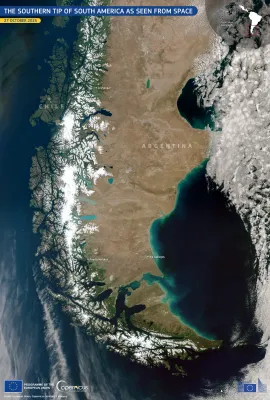
The southern tip of South America as seen from space
Earth Observation
Earth Observation
Copernicus
This image, acquired by one of the Copernicus Sentinel-3 satellites on 27 October 2025, provides a rare, cloudless view of the southernmost regions of South America, including parts of Argentina and…
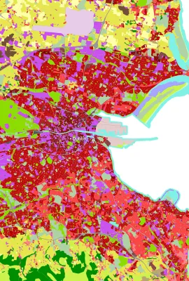
Image of the day
Mapping Dublin’s Urban Fabric on World Cities Day
Earth Observation
Earth Observation
Copernicus
On World Cities Day, 31 October 2025, we spotlight Dublin, Ireland’s capital and a hub of cultural, economic, and social activity. Rapid urban expansion in some European cities such as Dublin brings…
Image of the day
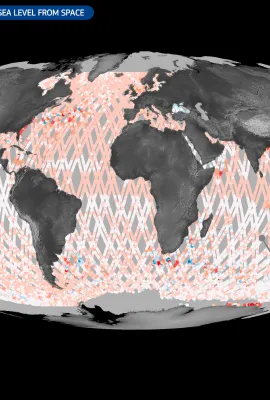
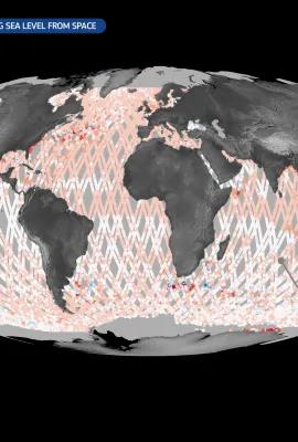
Copernicus Sentinel-6: measuring sea levels from space
Earth Observation
Earth Observation
Copernicus
The Copernicus Sentinel-6 satellite mission is the global reference for measuring sea surface height. The first satellite of the mission, Copernicus Sentinel-6 Michael Freilich (Sentinel-6A), was…
Image of the day
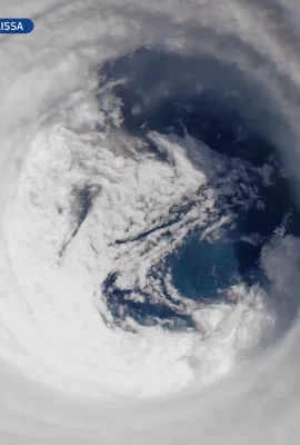
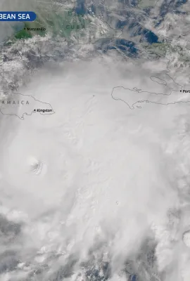
20251029_Eye Hurricane Melissa
Earth Observation
Earth Observation
Copernicus
On 28 October 2025, Hurricane Melissa, the most powerful storm to hit Jamaica in history, made landfall on the island with devastating force. With sustained winds reaching 298 km/h and a central…
Image of the day
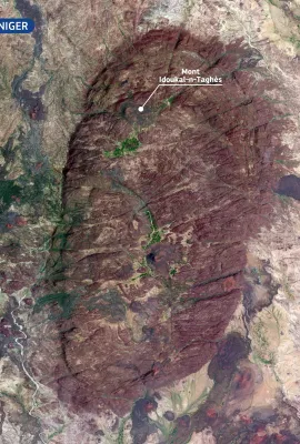
Mont Idoukal-n-Taghès, Niger
Earth Observation
Earth Observation
Copernicus
Rising to 2,022 metres, Mont Idoukal-n-Taghès is the highest peak in Niger and a prominent feature of the Aïr Massif in the north of the country. This mountainous region of volcanic origin stands out…
Image of the day
Hurricane Melissa
Earth Observation
Earth Observation
Copernicus
After forming in the central Atlantic Ocean at the end of October 2025, Hurricane Melissa underwent rapid intensification as it moved westward across the Atlantic, reaching Category 4 status with…
Image of the day
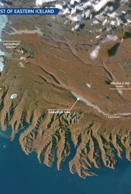
Sediments along the coast of eastern Iceland
Earth Observation
Earth Observation
Copernicus
With a length of around 150 km, the Jökulsá á Dal is among Iceland’s longest rivers. It carries meltwater and sediments from Vatnajökull, Europe’s largest glacier, across the eastern highlands. The…
Image of the day
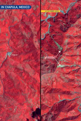
Devastating landslides and flooding in Chapula, Mexico
Earth Observation
Earth Observation
Copernicus
In October 2025, large parts of central and eastern Mexico have faced severe flooding, triggered by torrential rainfall from converging tropical storms. According to local authorities, there have…
Image of the day
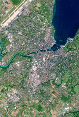
Geneva from Above: Celebrating 80 Years of the United Nations
Earth Observation
Earth Observation
Copernicus
24 October 2025 is United Nations Day, marking 80 years since the United Nations Charter came into force. As the cornerstone of international cooperation, the United Nations plays a vital role in…
Image of the day
Floods on Panay Island, the Philippines
Earth Observation
Earth Observation
Copernicus
Extensive flooding swept across Panay Island in the Philippines following heavy rains from Tropical Storm Ramil on 18 October 2025. The storm brought record-breaking rainfall, with Roxas City…
Image of the day
The unique floating islands of Loktak Lake, India
Earth Observation
Earth Observation
Copernicus
Loktak Lake, located in the state of Manipur, is the largest freshwater lake in north-eastern India, renowned for its floating islands known as phumdis: masses of vegetation, soil, and organic matter…
Image of the day
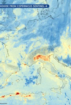
First image of nitrogen dioxide from Copernicus Sentinel-4
Earth Observation
Earth Observation
Copernicus
The new Copernicus Sentinel-4 mission has delivered its first images, highlighting concentrations of atmospheric nitrogen dioxide, sulphur dioxide and ozone.  This image, based on the Sentinel-4 very…
Image of the day
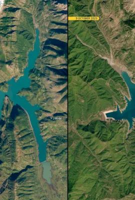
The impact of drought on Lake Mornos, Greece
Earth Observation
Earth Observation
Copernicus
Lake Mornos is an artificial reservoir in central Greece, serving as a primary water source for Athens. According to national authorities, the lake has lost nearly half of its water volume  over the…
Image of the day
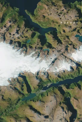
The Folgefonna Glacier, Norway
Earth Observation
Earth Observation
Copernicus
Covering 207 square kilometres and reaching thicknesses of nearly 400 metres, Folgefonna is the third-largest glacier on mainland Norway. For nearly two centuries, this striking natural landmark has…
Image of the day
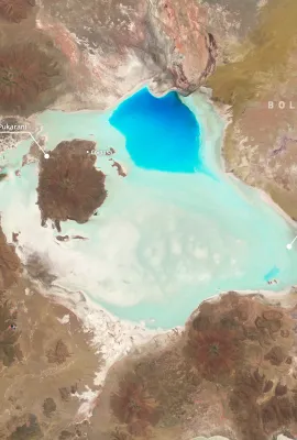
Coipasa Salar, Bolivia
Earth Observation
Earth Observation
Copernicus
Located next to the Chilean border in the Altiplano region of Bolivia, Coipasa Salar is Bolivia’s second largest salt lake, spanning over 2,000 square kilometres.  Coipasa Salar is rich in deposited…
Resources
Earth Observation
Earth Observation
Copernicus
CBK PAN has launched a new online service dedicated to monitoring urban heat islands (UHI) based on satellite data.

Showing 501-520 of 2101 results