Image of the Day
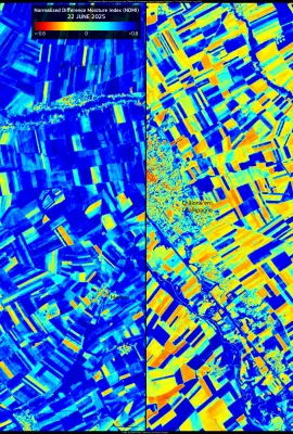
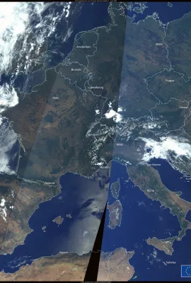
Since late June 2025, Europe has been affected by an intense heatwave, with temperatures exceeding 40 °C in several countries. The extreme heat has caused widespread disruption, leading to casualties and placing ecosystems and agriculture under severe stress. These Copernicus Sentinel-2 images, acquired on 22 June and 2 July 2025, show the...