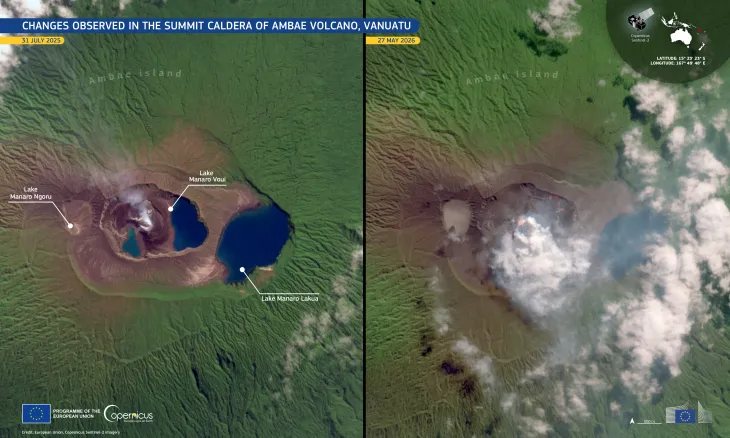
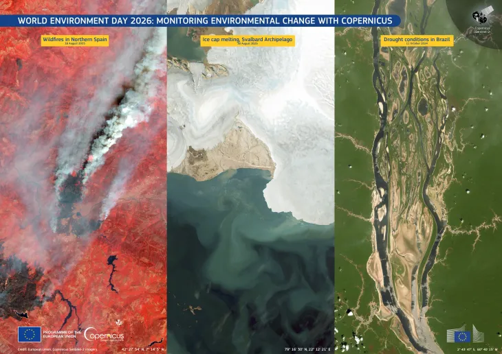
Image of the day
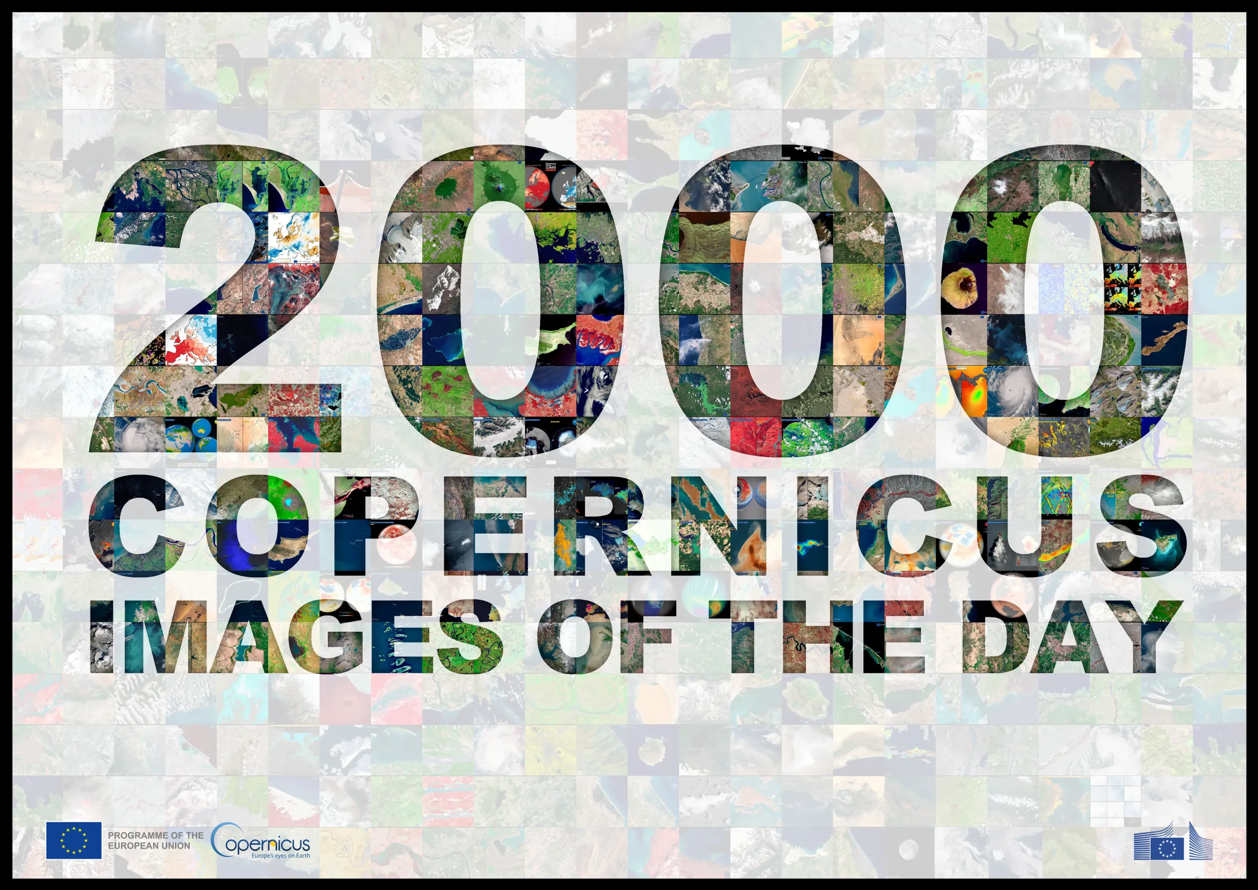
Two Thousand Copernicus Images of the Day
Earth Observation | Copernicus
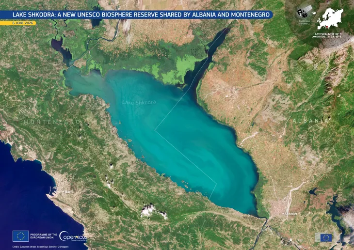
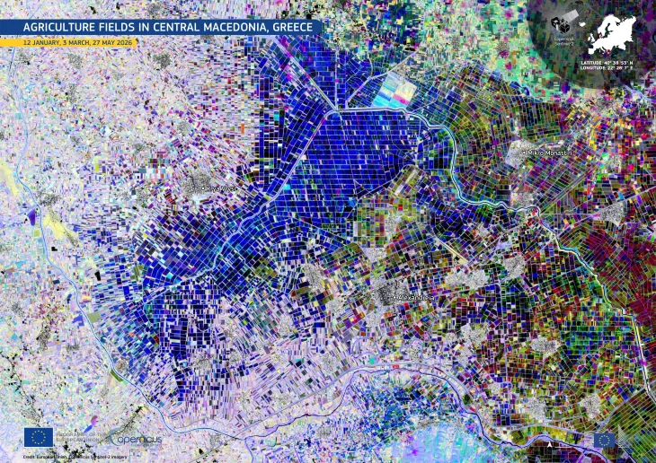
Land cover
Nature
Other Human Activities
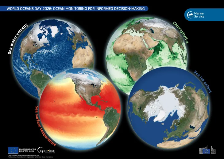
Water Resources
Location: World
Credit: European Union, Copernicus Sentinel imagery and Copernicus Services data
On 2 April 2020, the first Image of the Day was published. Two thousand editions in, published 365 days a year, the series has become a daily record of Earth Observation designed to make Copernicus and its benefits accessible to policymakers, journalists, educators, and the general public.
Based on images acquired by the Copernicus Sentinel satellites or derived from Copernicus Services data, each image documents the evolving state of Earth’s land, sea, and atmosphere: from floods and wildfires to agricultural changes, coastal erosion, and urban growth.
We thank our readers for their continued support for Copernicus and the Image of the Day.
![Download [WEBP, 1.38 MB]](https://eu-space.europa.eu/sites/default/files/2026-04/20260423_2000%20IOTD_2.webp)