Satellite Navigation | Galileo and EGNOS
Satellite navigation is a technology that allows devices to determine their accurate location and time on Earth using signals from satellites . Receivers integrated in smartphones, cars, aircraft, and ships use these signals to compute their position and time, and display it on a digital map. This makes it possible to know where you are at every second and navigate from one place to another.
There are currently four global navigation satellite systems (GNSS): GPS (USA), Glonass (Russia), Beidou (China) and Galileo (European Union). Galileo is the most accurate of all.
Satellite navigation is everywhere
Satellite navigation is widely used in everyday life. It helps people find directions on their phones , and is used in many sectors, including transport, geodesy, construction, agriculture, drones, and scientific research. Satellite navigation provides also precision time, which is used for synchronizing critical functions of our modern societies, such as banking, energy grids and telecommunication networks.
What does the EU do in the area of satellite navigation?
The European Union has developed its own satellite navigation systems to provide reliable positioning, navigation and timing services for citizens and professionals, and to ensure full independence from other systems such as GPS.
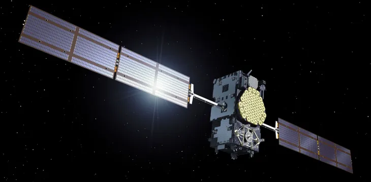
One of these systems is Galileo, named after the scientist Galileo Galilei. Galileo began providing initial services in 2016 and has grown steadily since then. Today, more than 4.5 billion devices worldwide use Galileo signals.
Before Galileo, the EU launched EGNOS, Europe’s regional satellite navigation system. It provides an integrity service and improves the accuracy of satellite positioning systems such as GPS across Europe and parts of North Africa, supporting essentially the aviation and maritime sectors.
Satellite navigation is everywhere
Satellite navigation is widely used in everyday life. It helps people find directions on their phones , and is used in many sectors, including transport, geodesy, construction, agriculture, drones, and scientific research. Satellite navigation provides also precision time, which is used for synchronizing critical functions of our modern societies, such as banking, energy grids and telecommunication networks.