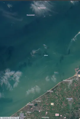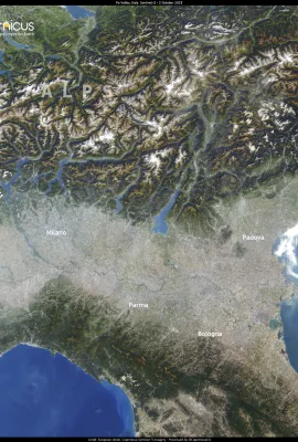
At the beginning of October, a high-pressure system brought clear skies to northern Italy, but also an increase in particulate matter concentrations in the Po Valley. According to local authorities,…
Results (2026)
Koinu, visible in this image acquired by one of the Copernicus Sentinel-3 satellites on 2 October, is a powerful typhoon currently moving north of the Philippines in the Pacific Ocean. Koinu is…
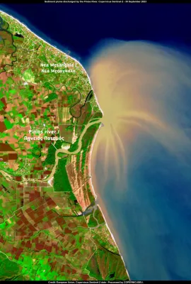
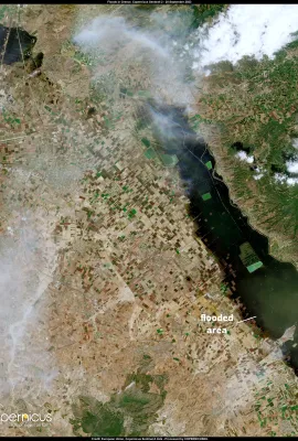
Storm Elias is the second major storm to hit Greece in just a few weeks. The heavy rains it caused have resulted in the overflowing of rivers and widespread floods in the region of Thessaly. In this…
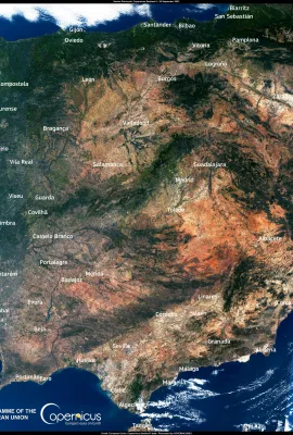
The Iberian Peninsula, imaged by one of Copernicus Sentinel-3 satellites on 27 September, is undergoing an unseasonal heat wave. After a particularly hot summer, the high pressure has caused the rise…
Resources
In September 2023, during the 6th C3S General Assembly the C3S app SNOWLOADS was promoted with a poster.
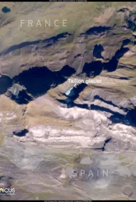
Pyrenean glaciers such as the Aneto, Maladeta, Oulettes de Gauve or Tallion glaciers are disappearing due to the consequences of Climate Change. The increase in summer temperatures and the reduction…
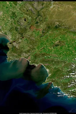
In the past few days, heavy rains have caused devastating floods in the Western Cape Region, in South Africa. Eleven casualties have been reported, and thousands of families have been evacuated. The…
On the 13th of September 2023, in the framework of the State of the Union, President von der Leyen presented Commission priorities for 2024.
Resources
Presentations showcasing successful cases and hands-on demonstrations of utilizing Copernicus data and services for Ocean Monitoring and Coastal Communities.
Copernicus is the world's largest provider of Earth Observation data and has become a crucial resource for scientists, public authorities, entrepreneurs, journalists and citizens globally.
Resources
Presentations showcasing successful cases and hands-on demonstrations of utilizing Copernicus data and services for Ocean Monitoring and Coastal Communities.
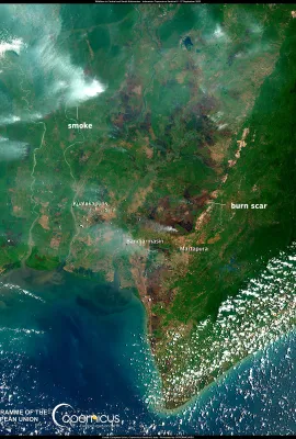
This image, acquired by one of the Copernicus Sentinel-2 satellites on 27 September 2023, shows the smoke clouds caused by the wildfires that are burning the peatlands of the Central and South…
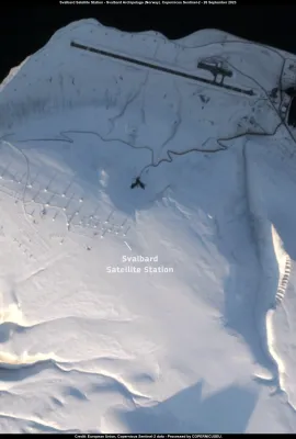
This image, acquired by one of Copernicus Sentinel-2 satellites on 26 September, shows the Svalbard Satellite Ground Station (SvalSat), located on the island of Spitsbergen in the Norwegian…
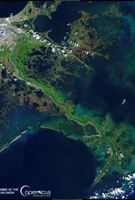
The drought of the past months is affecting the water flow of the Mississippi River in Louisiana, USA. According to local authorities the river water volume has fallen to historic lows, causing…
On 17 September 2023, UNESCO added 40 new World Heritage sites to its list of protected approval. Among them is Kludïga, visible in this Copernicus Sentinel-2 image acquired on 12 September. Kludïga…
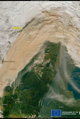
The wildfire season is still ongoing in British Columbia and Alberta, leading to many evacuations. In Chateh, the wildfires are getting closer to the community, forcing residents to leave their…
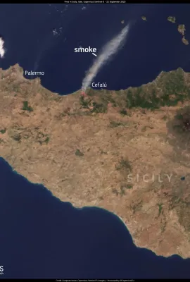
This image of the Italian island of Sicily, acquired by one of the Copernicus Sentinel-3 satellites on 22 September at 09:20 UTC, shows the hotspots and the enormous smoke cloud generated by a…
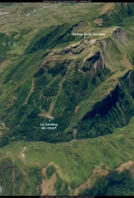
The winter sports industry is vulnerable to the effects of climate change, and Europe is beginning to feel its first impacts. This image, acquired by one of the Copernicus Sentinel-2 satellites on 1…
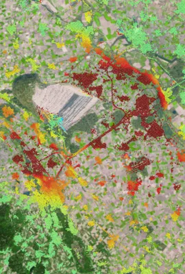
The way environmental problems and benefits are unevenly distributed across our societies paints a troubling picture of inequity. Typically, it's the low-income neighbourhoods that grapple with…
Storm Daniel and the consequent floods caused damage to over 700 km2 in Greece's central agricultural belt. The dry soil has impeded the absorption of floodwaters, leaving some areas still submerged…
Showing 1401-1420 of 2026 results