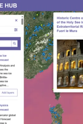
Artificial Intelligence is transforming how Earth Observation data are analysed and used to support environmental monitoring, climate research and action, as well as disaster risk reduction and emergency management. AI methods, including machine learning techniques, are helping researchers, public institutions, and industry extract insights...
Results (279)
Across Europe and around the world, cultural and natural heritage sites face rising pressures from environmental change, urban development, natural hazards, illegal activities, and conflict. Satellite-based observations provide consistent, long-term information which helps authorities, researchers, and site managers understand how these sites...
Through its advanced satellite technologies and space-based systems, the EU Space Programme is transforming how aircraft navigate, communicate, and operate across European airspace and beyond. Innovations from EGNOS, Galileo, Copernicus, and soon IRIS², are changing the way we fly. Precision landing and navigation systems developed under the EU...
According to the recently published Global Climate Highlights 2025 report from the Copernicus Climate Change Service (C3S), global temperatures remained close to historic highs in 2025, making it the third-warmest year on record and reinforcing the persistence of long-term warming trends. Alongside near-record global surface air and sea surface...
The Copernicus Land Monitoring Service is expanding its reach through its CLMS Snapshots, a new tool which uses interactive, visually rich story maps to bring land monitoring insights to wider audiences. These story maps translate complex environmental data into accessible narratives for journalists, educators, environmental communicators, and...
Showing 16-20 of 279 results