Two sand seas flank a dark plateau in south-western Libya
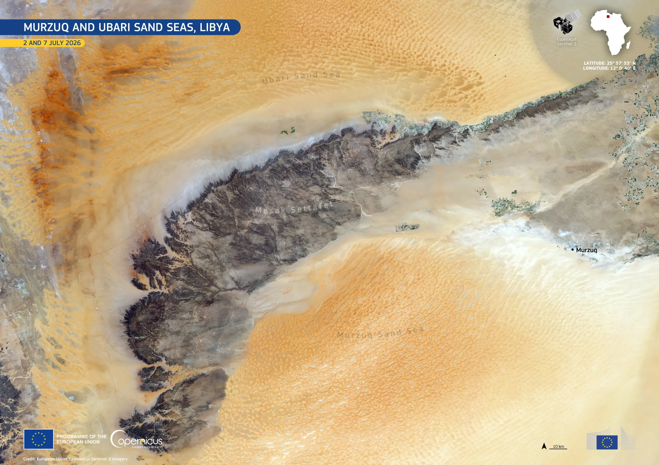
The Murzuq and Ubari Sand Seas are major dune fields in the Sahara Desert in south-western Libya. Their extensive dune systems surround rocky plateaus and escarpments, creating a marked contrast between sand, exposed bedrock, and sparse vegetation.
This image, acquired by the Copernicus Sentinel-2 satellites on 2 and 7 July 2026, shows the Ubari Sand Sea in the north and the Murzuq Sand Sea in the south. Between them lies the Mesak Settafet plateau, whose exposed bedrock stands out in darker tones against the orange dunes. Small green areas indicate scattered vegetation and irrigated land near settlements, including the town of Murzuq.
Copernicus provides high-resolution imagery of remote desert regions, supporting land cover mapping, environmental monitoring, and change assessment in fragile arid landscapes.