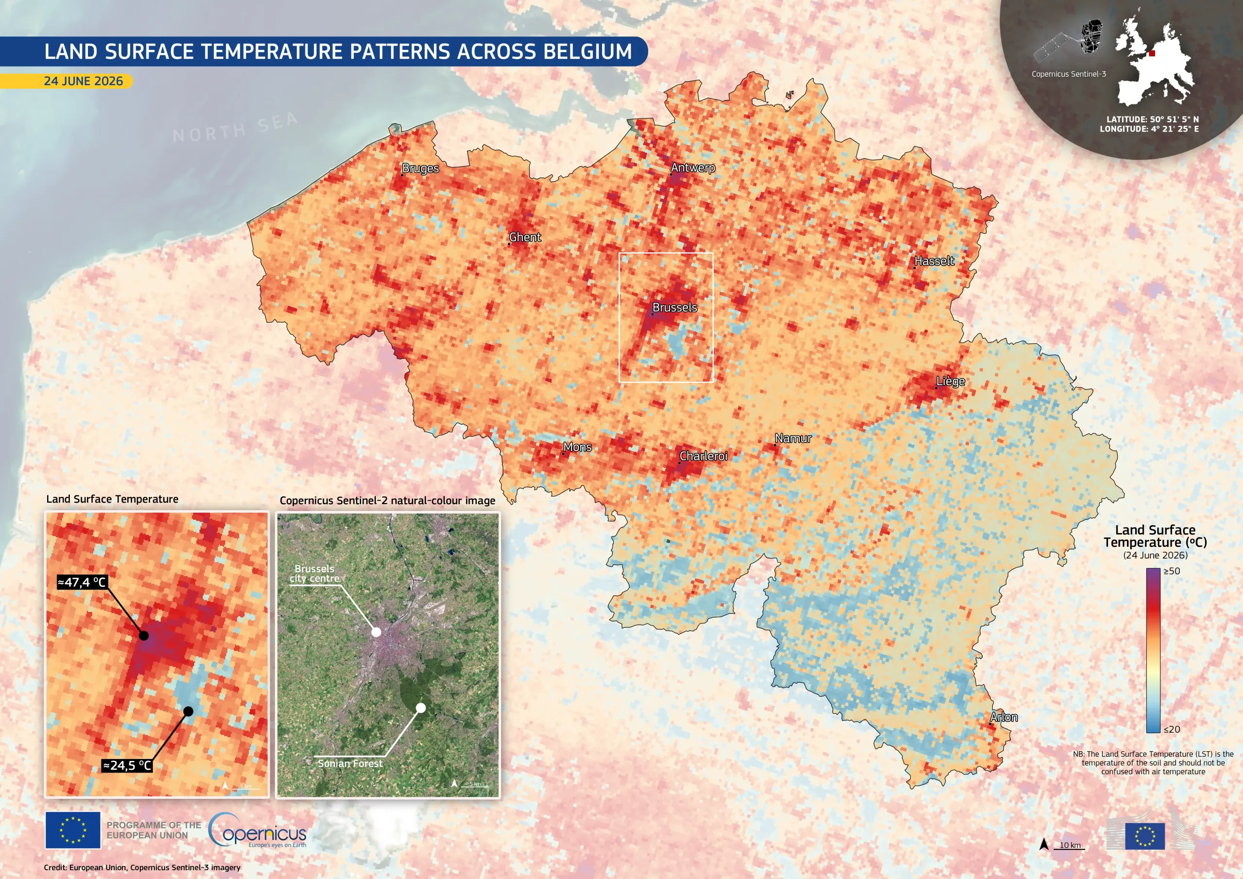
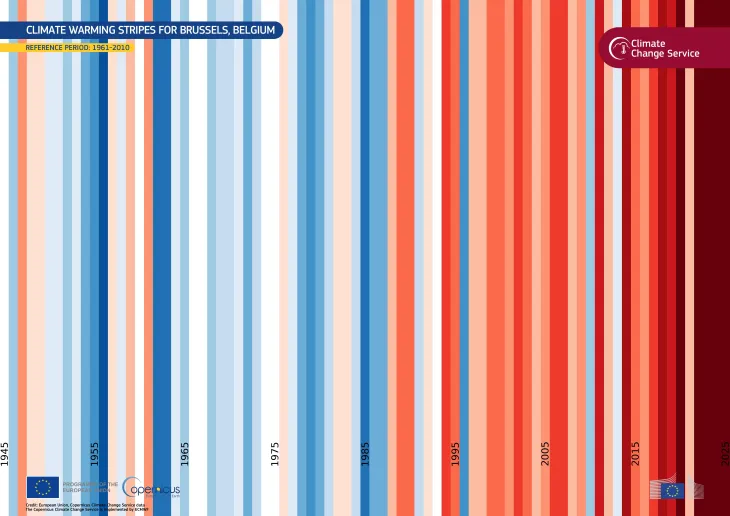
Urban heat island effect in Brussels, Belgium, during the late June 2026 heatwave
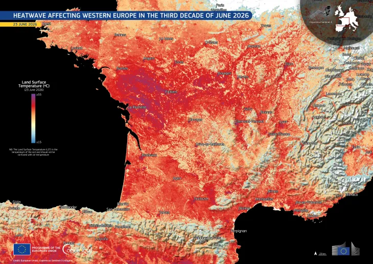
Western and Central Europe are facing a severe heatwave caused by a persistent high-pressure atmospheric system known as an “Omega block”. Multiple countries, including France, Spain, Italy, Germany, the United Kingdom, Switzerland, Luxembourg, and Belgium, recorded exceptionally high temperatures, prompting widespread extreme heat alerts and disruptions.
On 24 June 2026, Belgium issued a national heatwave alert, as temperatures were forecast to remain above 30°C and reach up to 38°C later in the week.
This data visualisation, based on data acquired by one the Copernicus Sentinel-3 satellites on 24 June 2026 at 10:30 UTC, shows the Land Surface Temperature (LST) across Belgium. LST is the temperature of the soil and should not be confused with air temperature.
Reddish and purple shades indicate areas with higher temperatures, while blue shades indicate areas with lower temperatures. In Brussels, the LST exceeded 47°C, while the nearby Sonian Forest remained much cooler, at around 24.5°C. This contrast is consistent with the cooling effect of vegetation compared with dense urban areas, which typically retain more heat and contribute to the urban heat island effect.
Copernicus data provide information which supports evidence-based decision-making for climate adaptation, heat risk management, and sustainable urban planning.
![Download [WEBP, 1.13 MB]](https://eu-space.europa.eu/sites/default/files/2026-06/20260625_Belgium%20Heatwave.webp)