Copernicus Sentinel-3C: A New Eye on Our Changing Planet
Ready for launch: 14 September 2026
Discover our planet from a new perspective
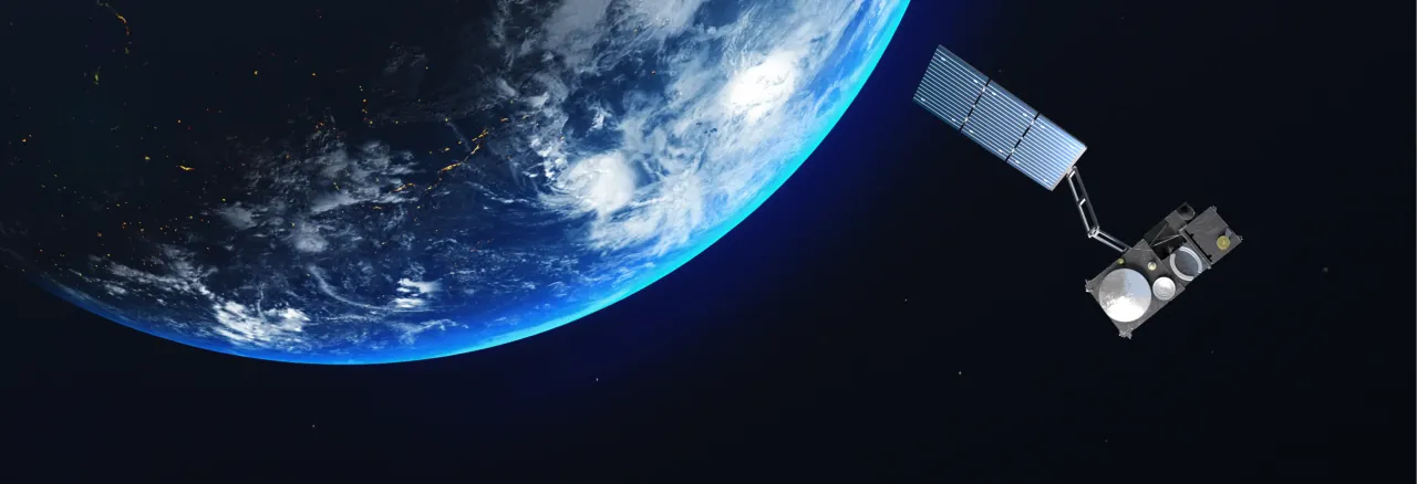
On 14 September 2026, the European Union will launch Copernicus Sentinel-3C, the latest satellite in the Copernicus Earth observation programme.
Liftoff is scheduled for 22:21 Kourou time (01:21 UTC, 03:21 CEST) — yes, that’s pretty late for Europe! But don’t worry: if you’re not staying up, we’ll bring you the launch highlights the next day.
Lifting off aboard a Vega-C rocket from Europe’s Spaceport in Kourou, French Guiana, Sentinel-3C will join Sentinel-3A and Sentinel-3B in monitoring our planet’s oceans, land, ice and atmosphere.
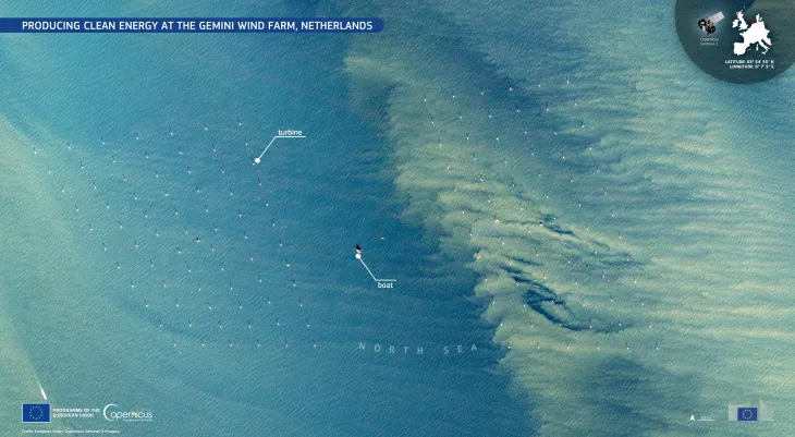
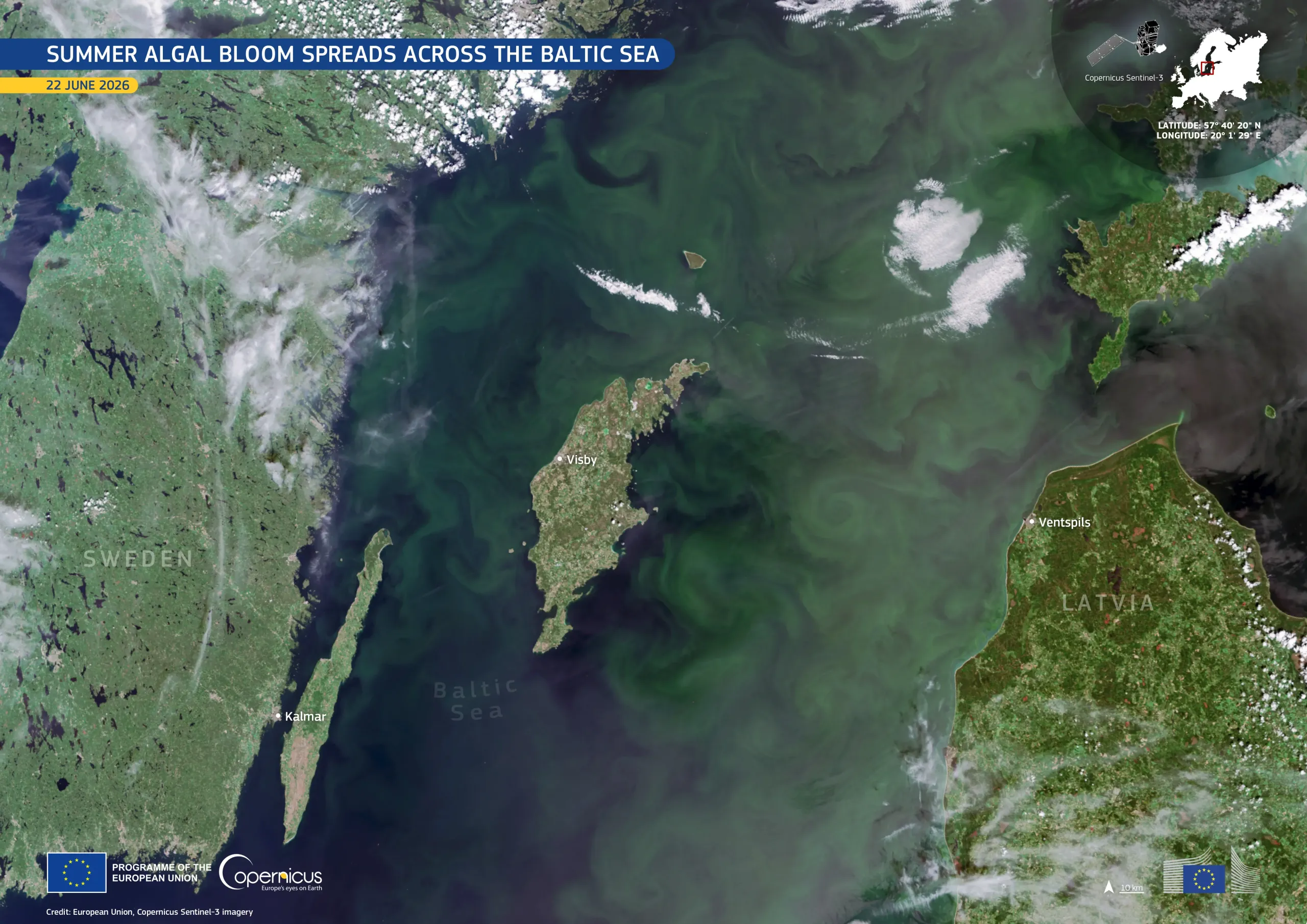
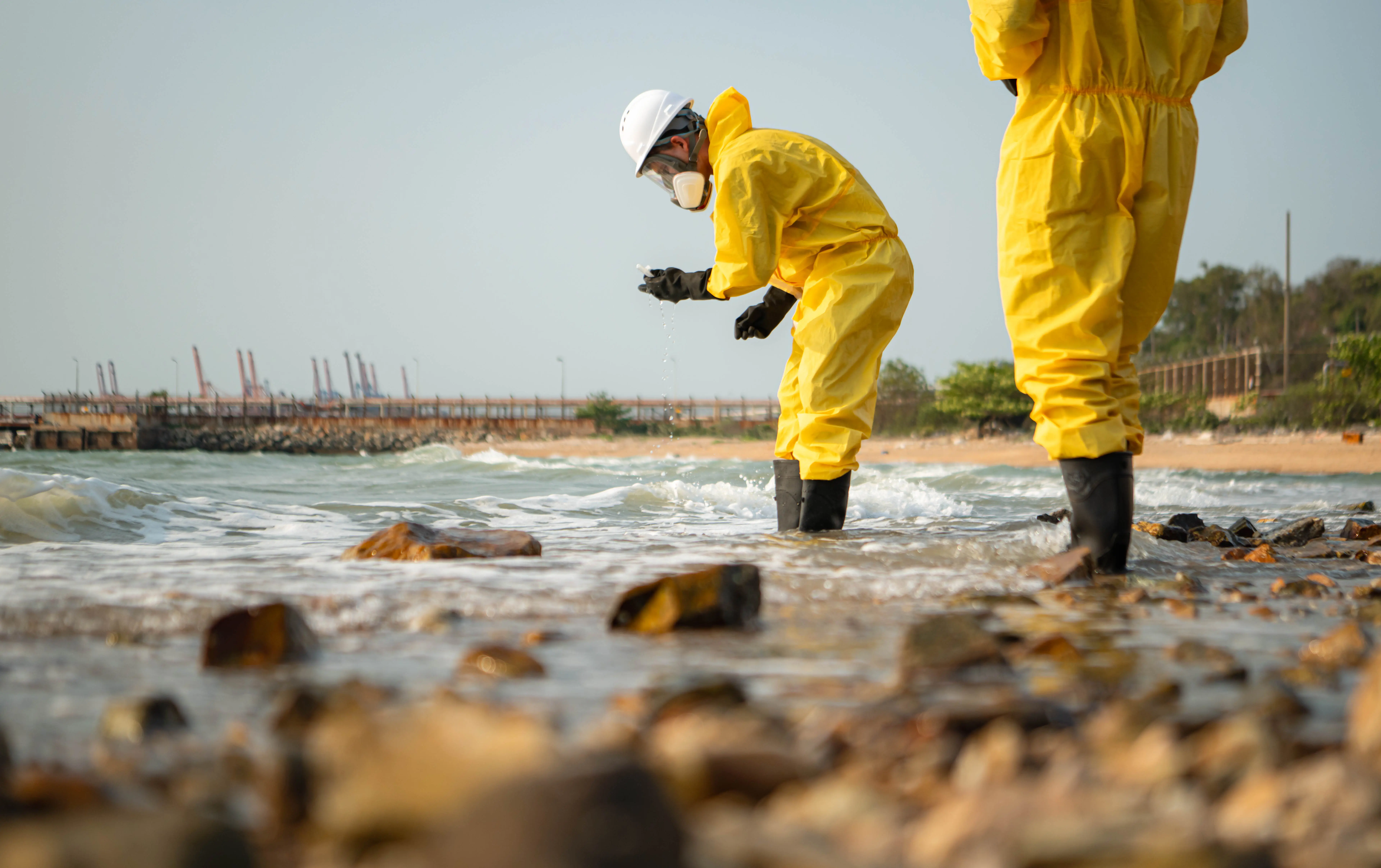
Sentinel-3 measures sea temperature, sea level and water colour, helping us understand changes in our oceans, monitor marine pollution and support safer, healthier seas.
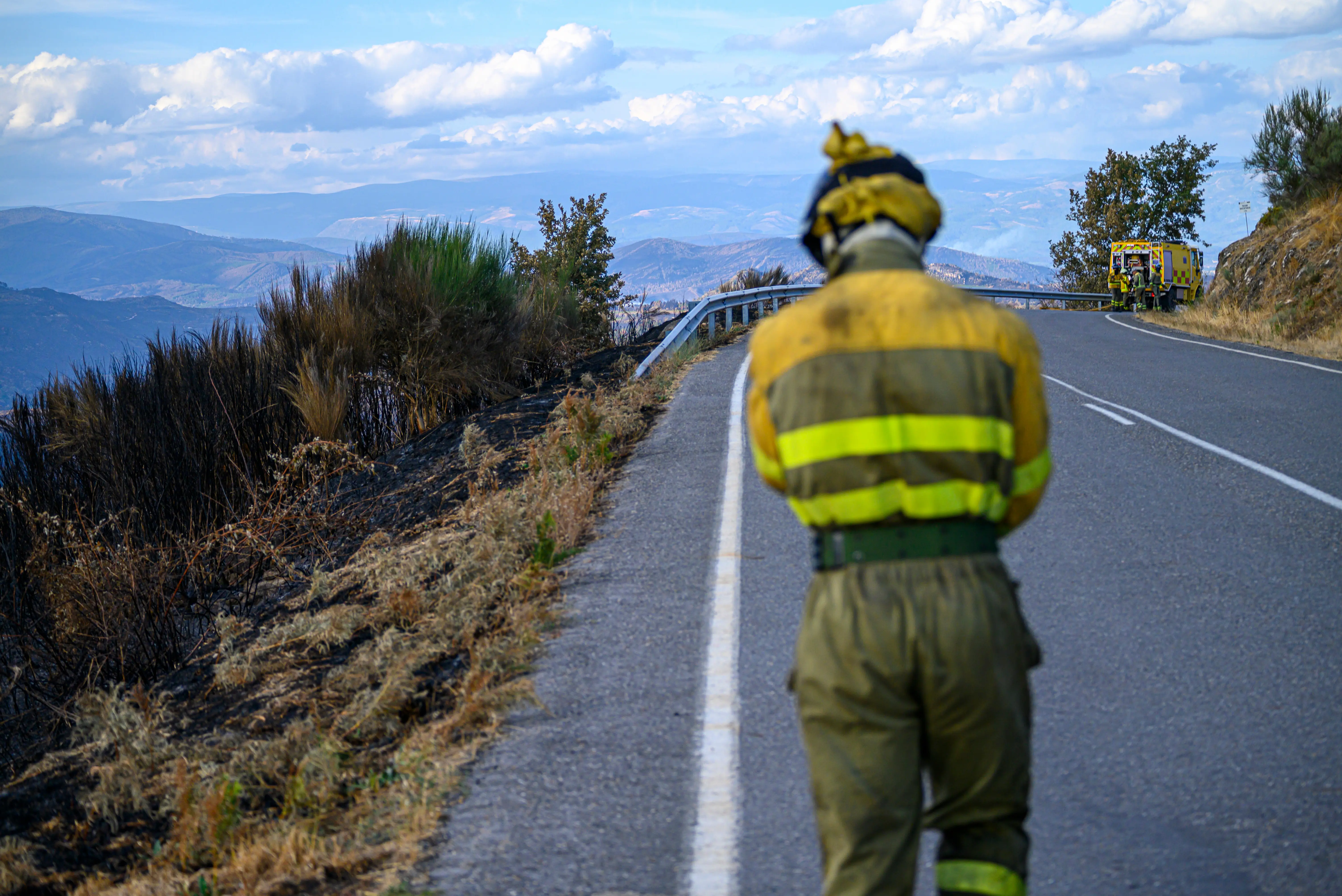
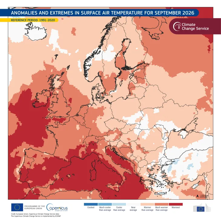
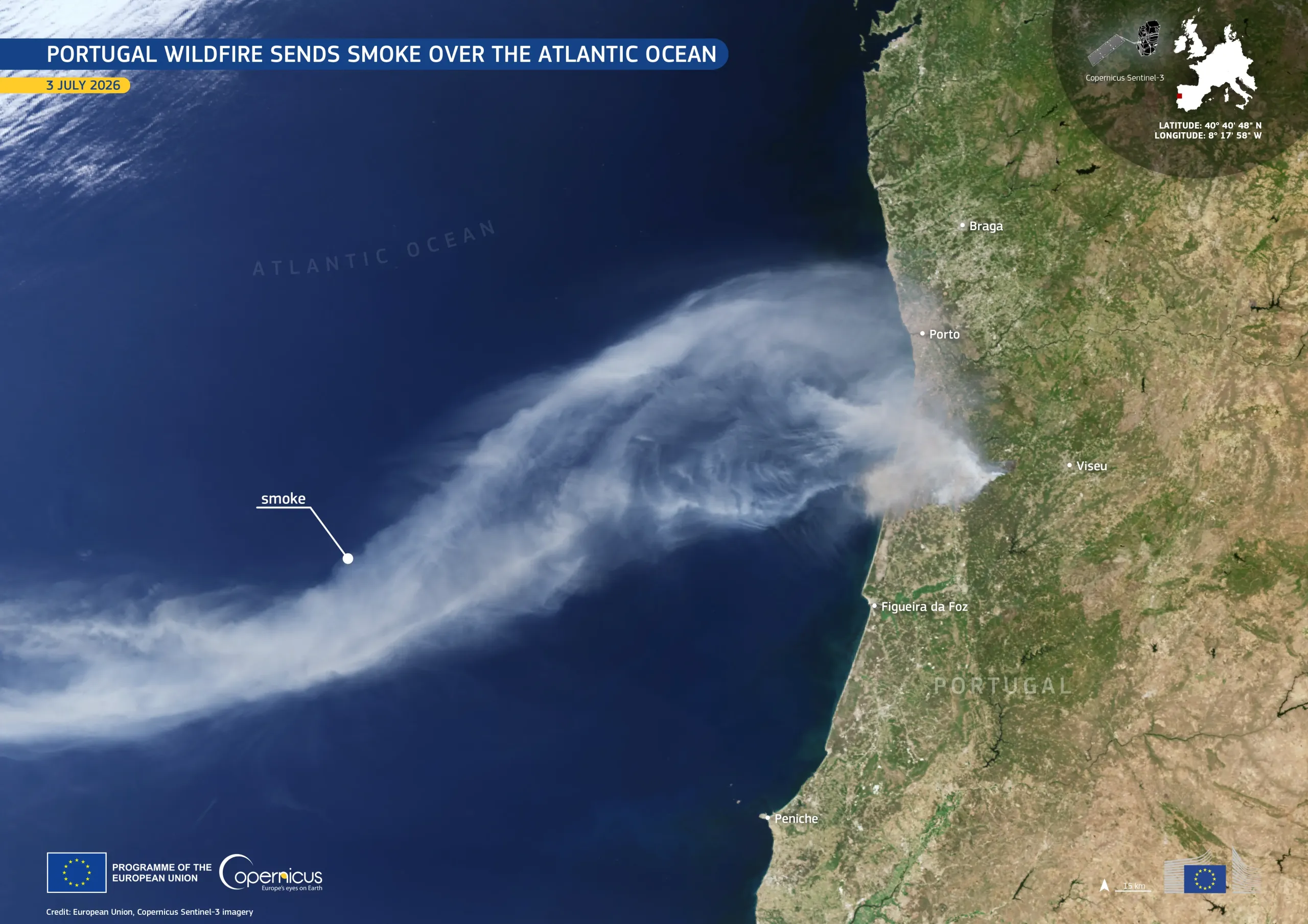
By measuring temperatures across land Sentinel-3 helps detect and monitor heatwaves, wildfires and other environmental changes, supporting faster responses to emergencies.
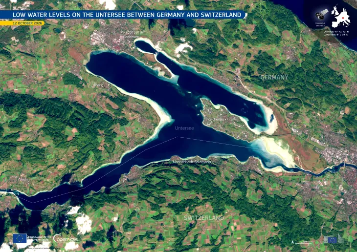
Sentinel-3 monitors vegetation, rivers, lakes and land temperatures, helping us understand drought, water availability and the health of ecosystems and crops.
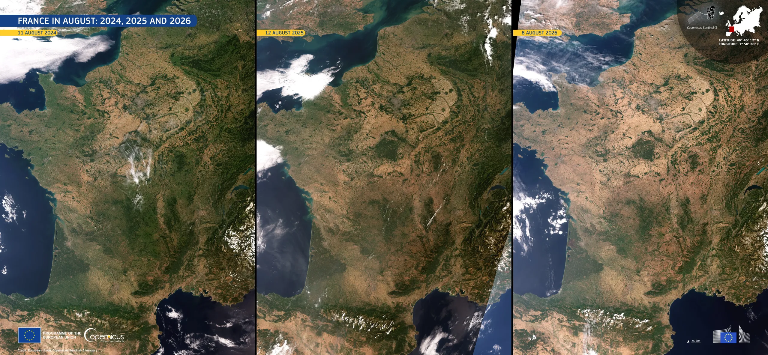
By continuously observing Earth from space, Sentinel-3 provides long-term data that helps scientists track climate change, understand its impacts and support better decisions for our future.

Who uses Copernicus?
Scientists studying our changing planet
How do you know if our planet is getting warmer? You need to measure it over many years and in many different places. This is where Sentinel-3 becomes incredibly useful. Its instruments regularly measure the temperature of the Earth's surface, from the oceans to the land. Scientists can use these measurements to see how heatwaves are changing, how glaciers and ice are evolving, or how vegetation responds to drought. Sentinel-3 also looks at the colour of the oceans. This may sound surprising, but ocean colour can tell scientists about tiny organisms called phytoplankton, which form the foundation of many marine food chains. By collecting the same types of measurements again and again, Sentinel-3 helps scientists spot changes that would otherwise be difficult to see. Think of it as keeping a regular health check on our planet – from space.
Weather and climate services
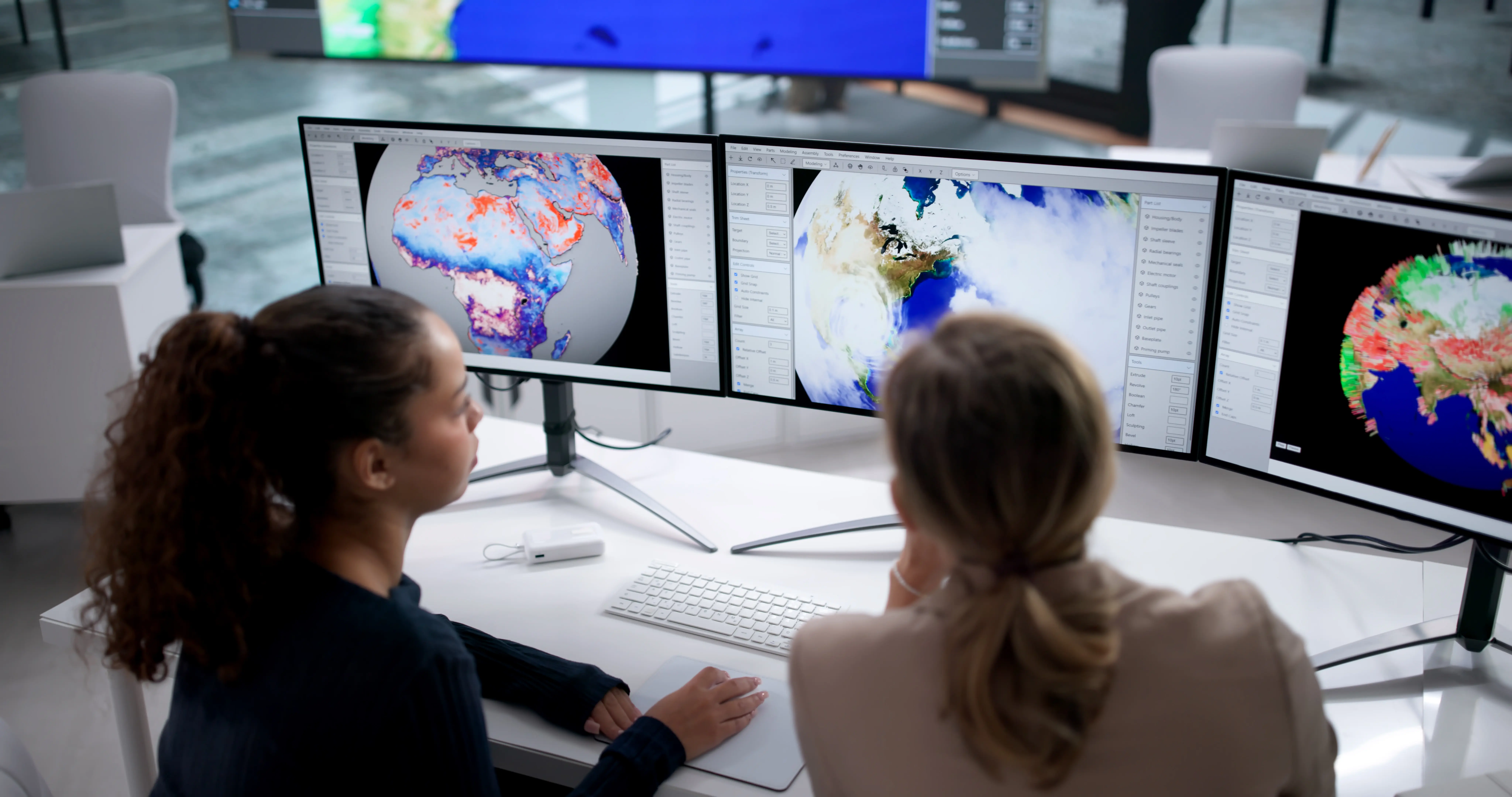
When you check tomorrow's weather, you probably don't think about satellites looking down at the Earth to help make that forecast. But observations from Sentinel-3 can be part of that bigger picture. For example, knowing the temperature of the sea is important because warm and cold areas of the ocean can influence weather and the development of storms. Sentinel-3 also measures the temperature of the land. During a heatwave, this can show just how hot the ground is becoming across a large area – something that a network of weather stations cannot capture on its own. The satellite can also help monitor sea ice, fires and other environmental conditions. Weather and climate services combine these observations with information from weather stations, computer models and other satellites. The result is a much more complete picture of what is happening on Earth – helping us better understand, predict and prepare for extreme weather.
Maritime and fisheries organisations
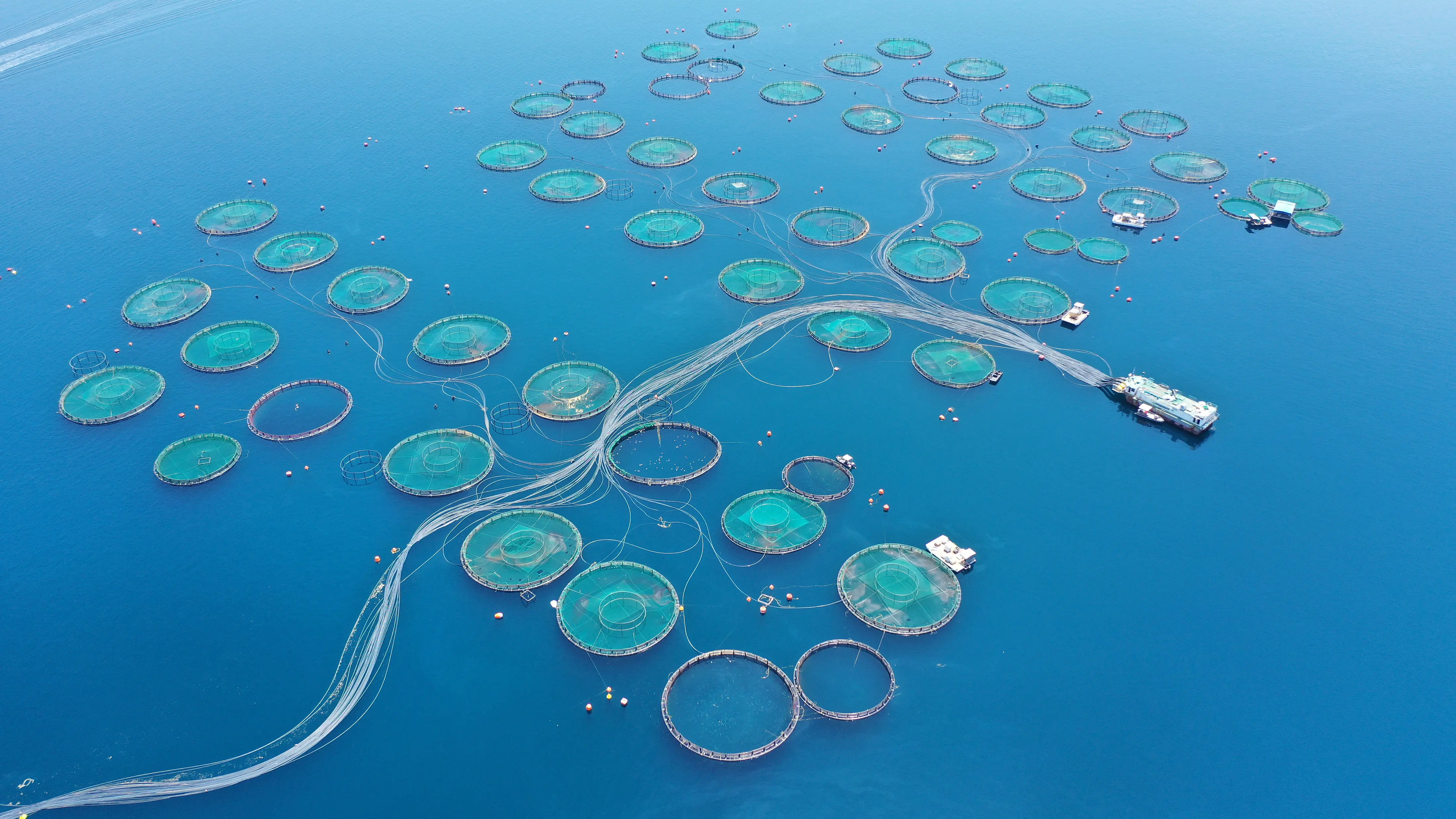
The ocean may look like one giant blue surface from the beach, but there is a lot happening underneath. Sentinel-3 can help us see some of it. Its instruments measure the colour and temperature of the ocean, providing clues about what is happening in the water. For example, changes in ocean colour can reveal the presence and concentration of phytoplankton – tiny organisms that are essential to marine life. This information can help fisheries organisations understand where marine ecosystems are most productive and how they are changing. It can also help detect potentially harmful algal blooms, which can affect fish, shellfish farms and people living in coastal areas. Sea surface temperature measurements provide another important piece of the puzzle, helping operators monitor unusual changes in water conditions. In other words, Sentinel-3 gives people working at sea an extra pair of eyes – one that can watch enormous areas of ocean from space.
National, regional and local public authorities
What happens when a heatwave hits a city, a river rises after heavy rain, or an algal bloom appears along a coastline? Authorities need to know what is happening and where. Sentinel-3 can provide them with a wide-area view of environmental conditions. During a heatwave, for example, its measurements can show how hot the surface of different parts of a region has become, helping authorities understand where heat is particularly intense. Its observations can also contribute to monitoring vegetation affected by drought, the condition of lakes and rivers, and changes in coastal waters. This information can be combined with measurements collected on the ground and other Copernicus satellite data. The important thing is that Sentinel-3 does not replace people on the ground – it gives them another perspective. From hundreds of kilometers above Earth, it helps authorities see the bigger picture and make better-informed decisions to protect people, manage resources and respond to environmental challenges.