Implemented by the European Environment Agency (EEA) and the Joint Research Centre (JRC)
It provides geospatial information which informs a host of essential applications: forest management, nature conservation, rural development, urban planning, and much more.
Overview
CLMS data and products directly inform EU, national, and local actions on a variety of issues, from reducing the use of pesticides to making villages more resilient to disasters.
The service relies on a combination of EU Space satellite and in-situ data.
Users can access the CLMS online portal to explore, analyse, and visualise land data at both the global and European levels. CLMS delivers detailed information on five main components:
- The evolution of land surfaces, including vegetation, crops, the water cycle, and more
- Land cover and land use, including water detection and wood landscape features
- Detection of hotspots prone to specific environmental challenges
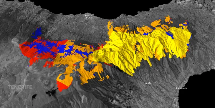
- Ground motion, including landslides and deformation of infrastructure
- Imagery and reference data
Other Copernicus services

The Copernicus Atmosphere Monitoring Service (CAMS) works to provide quality-assured data and information on the atmospheric composition with a focus on air pollutants and greenhouse gases.

The Copernicus Climate Change Service (C3S) provides free and open access to its state-of-the-art, quality-assured climate data and insights to help inform climate adaptation and mitigation strategies worldwide.
The Copernicus Emergency Management Service (CEMS) works to increase resilience, prevent the loss of life and property, and reduce damage to ecosystems before, during, and after disasters.
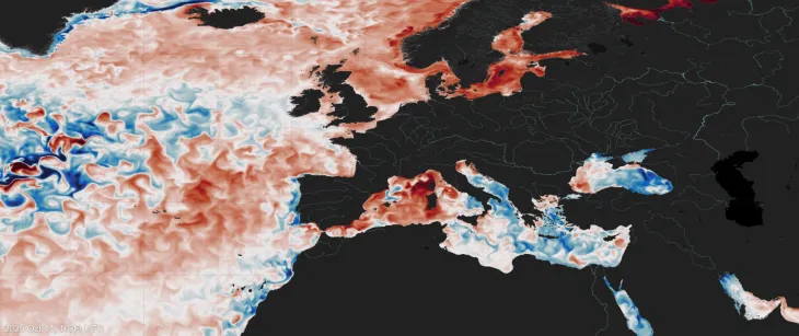
The Copernicus Marine Service (CMEMS) provides free and open data and services tracking these important ocean indicators. Its information helps to combat pollution, protect marine environments, develop new energy resources, raise global awareness of ocean-related issues, and much more.
The Copernicus Security Service (CSS) supports innovative strategies to meet Europe’s security and foreign policy needs. It enables activities ranging from mapping and monitoring illegal logging or mining activities to combatting marine pollution and supporting law enforcement at sea.