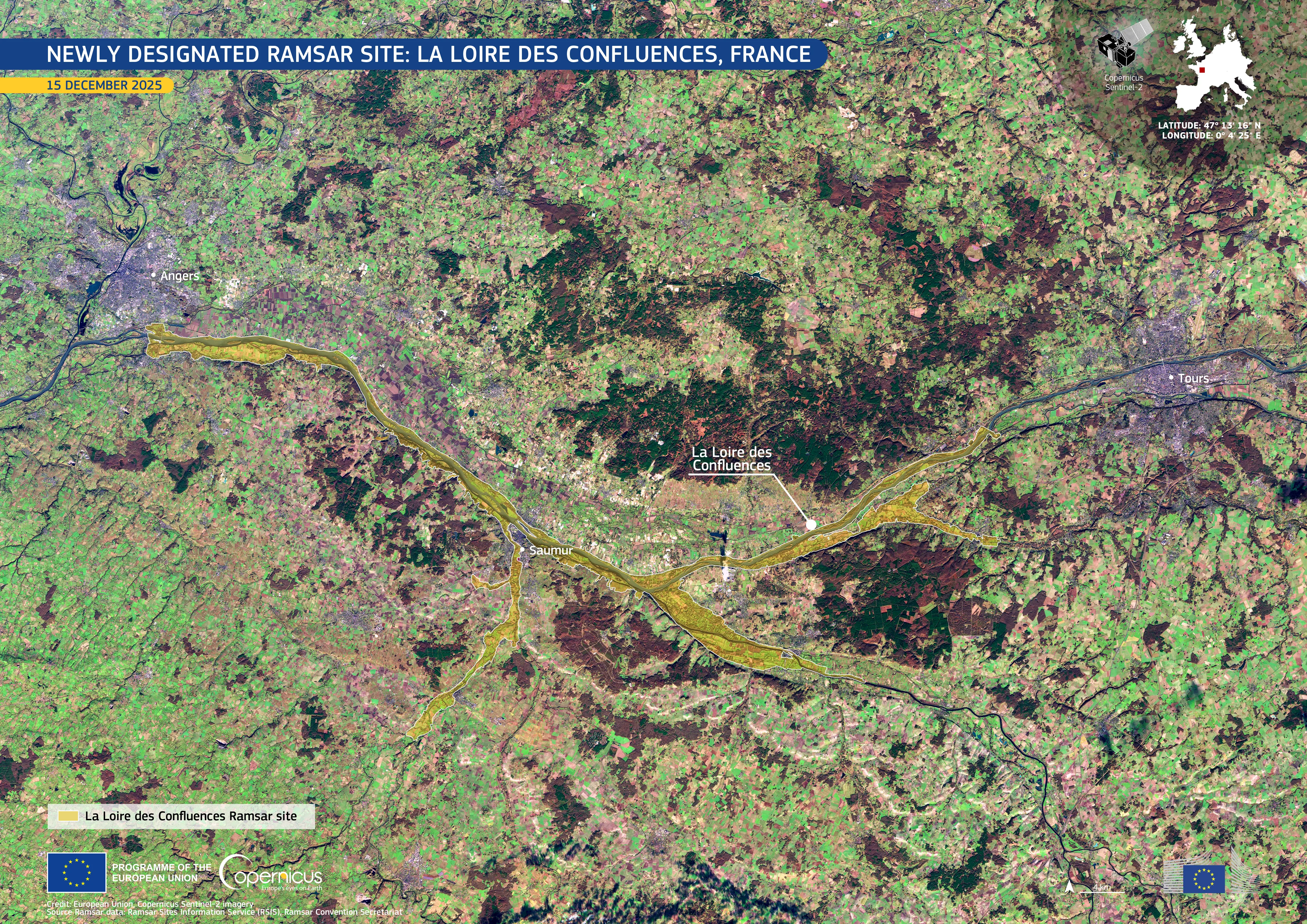
Newly designated Ramsar site: La Loire Des Confluences, France

On 26 February 2026, La Loire des Confluences, a river corridor in western France, was designated a Wetland of International Importance under the Ramsar Convention. Located where the Loire, Thouet, Vienne, Indre, and Cher rivers converge, the site represents one of France’s most dynamic river landscapes.
This image, acquired on 15 December 2025 by one of the Copernicus Sentinel-2 satellites, shows the protected area between the cities of Angers and Tours. The new Ramsar site is highlighted in yellow tones along the river corridor. The Loire River follows a meandering course across the floodplain, surrounded by winter vegetation visible in green tones and a patchwork of agricultural fields in brown.
Copernicus satellite data enable regular monitoring of flood dynamics, land use, and habitat conditions, supporting wetland conservation and sustainable river basin management.