Image of the Day

Italy will host the Olympic Winter Games from 6 to 22 February 2026, welcoming athletes, officials, and spectators from around the world.
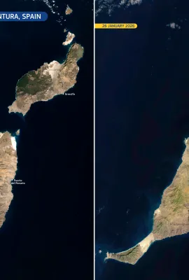
These Copernicus Sentinel-2 images, acquired on 13…


Showing 161-180 of 1211 results